Wikimedi'Òc
Modes d'emploi

Cet album fait partie des albums
Cet album photos contient les sous-albums suivants :


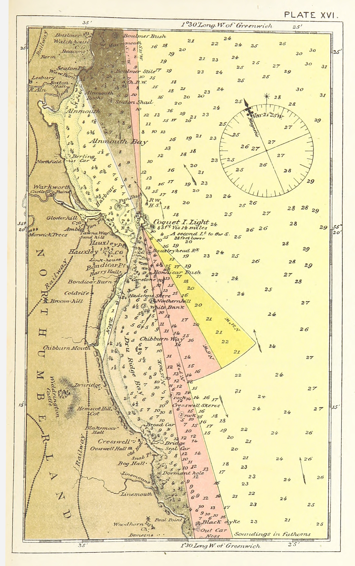
ELLIOT(1875) p167 - Plate XVI. Coquet Island, chart of vicinity.jpg - Metilsteiner

ELLIOT(1875) p189 - Plate XX. Land's End, chart of vicinity.jpg - Metilsteiner

The Quarterly journal of the Geological Society of London (12736125113).jpg - FlickreviewR 2

The Quarterly journal of the Geological Society of London (12734128044).jpg - Fæ
Admiralty Chart No 102 England East coast Pakefield Gatway to Orfordness by Staff Commander E.K. Calver R.N. 1867 RMG L1209, Published 1868.tiff - Fæ

120 of '(The History of the Norman Conquest of England, its causes and its results.)' (11120321114).jpg - SteinsplitterBot

512 of 'Géographie générale; physique, politique et économique. ... Avec ... cartes ... gravures, etc' (11113519443).jpg - Artix Kreiger 2

530 of 'Géographie générale; physique, politique et économique. ... Avec ... cartes ... gravures, etc' (11114495083).jpg - Enyavar

Admiralty Chart No 1826 England West Coast. Fleetwood to the Firth of Solway, Published 1850, Corrections to 1877.jpg - Balkanique

Birmingham Improvement Scheme map - circa 1876.jpg - Pigsonthewing