Wikimedi'Òc
Modes d'emploi

Cet album fait partie des albums
Cet album photos contient les sous-albums suivants :


Pictorial map of the seat of war in Europe.jpg - File Upload Bot (Magnus Manske)

Latest War Map of Europe 1870.jpg - Veikk0.ma

Stannard & Sons... (2674702935).jpg - File Upload Bot (Magnus Manske)

Stannard & Sons... (2674704111).jpg - File Upload Bot (Magnus Manske)

Humoristische Karte von Europa im Jahre 1870.jpg - Flickr upload bot

Europe - Ainsworth William Francis - 1870.jpg - Gts-tg

Carte du théâtre de la guerre - estampe - non identifié - btv1b530286572.jpg - Gzen92Bot

Französische Karte Europa 1870.jpg - FridE100

Nuova pianta di Venezia = Neuer plan von Venedig (28004024885).jpg - Fæ

Bacon's map of Europe (14782735059).jpg - Ser Amantio di Nicolao

Octopus in Europe. Humoristische-oorlogskaart by J.J. van Brederode, 1870.jpg - Taterian

Latest war map of Europe LCCN2003663898.jpg - Fæ
Latest war map of Europe LCCN2003663898.tif - Fæ

A new map designed for 1870 LCCN2003690601.jpg - Fæ
Latest war map of Europe - as seen through French eyes LOC 2010587001.tif - Fæ

Latest war map of Europe - as seen through French eyes LOC 2010587001.jpg - Fæ
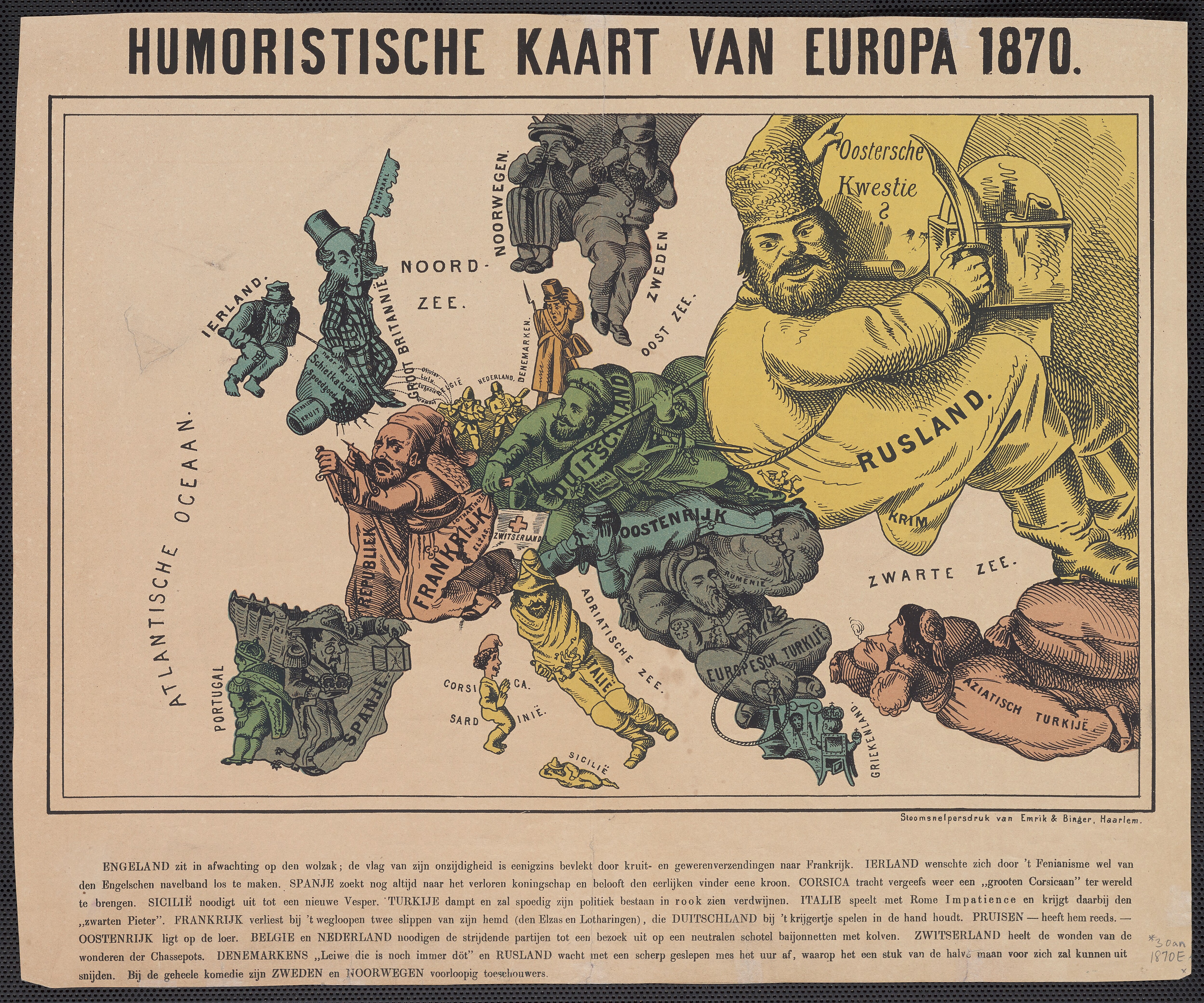
Humoristische Kaart van Europa 1870.jpg - Balkanique

Kaart der oneenige staten van Europa.jpg - Balkanique

Nieuwe kaart van Europa 1870.jpg - Balkanique

Justus Perthes' Specialkarte der deutschen Grenze bis Paris.jpg - Higgenhorscht
German version of the 1870 satirical map of Europe by Hadol.tif - Balkanique

Carte drôlatique d'Europe pour 1870.jpg - Guise

1870 Bacon's new shilling war map Paris to Berlin, by G. W. Bacon & Co., from the Digital Commonwealth - commonwealth 4m90fp914.jpg - Daderot

1870 Bacon's military map of Central Europe, in bold print for tracing the movements of the armies, by G. W. Bacon & Co., from the Digital Commonwealth - commonwealth 4m90fp88t.jpg - Daderot

1870-1871 Bacon's map of the seat of war from Paris to the Rhine by G. W. Bacon & Co., from the Digital Commonwealth - commonwealth 4m90fp982.jpg - Daderot

1870 Bacon's large scale shilling map of seat of war from Paris to Berlin, and the Baltic, by G. W. Bacon & Co., from the Digital Commonwealth - commonwealth 4m90fp92d.jpg - Daderot

1870 Bacon's large scale seat of war - Metz to the Rhine, by G. W. Bacon & Co., from the Digital Commonwealth - commonwealth 4m90fp893.jpg - Daderot

Neueste Eisenbahn-Karte von Mittel-Europa... - entworfen und gezeichnet von N. Beth... - btv1b532132750.jpg - Gzen92Bot

L'Europe animée, composition de A. Belloguet sur la topographie de l'Europe - btv1b53093117z.jpg - Gzen92Bot
Übersichts-karte der länder zwischen Berlin u. Paris, by W. Liebenow, 1870, from the Digital Commonwealth - 4m90fp96h.tif - Daderot

Life-expectancy,Europe,1870.svg - Doc James