Wikimedi'Òc
Modes d'emploi

Cet album fait partie des albums
Cet album photos contient les sous-albums suivants :


Verdun 1866 nord.png - Flappiefh

Verdun 1866.png - Flappiefh

Verdun 1866 sud.png - Flappiefh
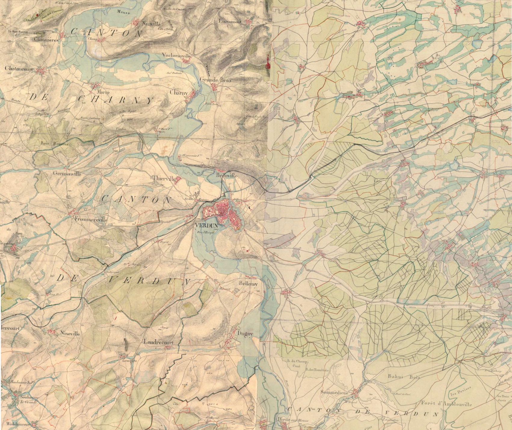
Verdun 1866 assemblage.png - Flappiefh

376 of '(A Dictionary, geographical, statistical, and historical, of the various countries, places, and principal natural objects in the world.)' (11074606516).jpg - Artix Kreiger 2

Plan du port de Bastia, levé en 1866.jpg - Gz260

Massy Antony Wissous - Carte d'État-major de la France 1866.png - Like tears in rain

Wissous - Carte d'État-major de la France 1866.png - Like tears in rain

Carte d'état-major 1866 - Crohot des Cavalles.jpg - JohnNewton8

Illkirch-Graffenstaden, détail de la Carte d'État-major de la France, Feuille Strasbourg N.E.png - Hippolyte Souvay

Carte d'Etat Major.1866.Wissous.png - Rc1959