Wikimedi'Òc
Modes d'emploi

Cet album fait partie des albums
Cet album photos contient les sous-albums suivants :


1865 Johnson Map of France, Spain and Portugal - Geographicus - FranceSpain-johnson-1865.jpg - BotMultichill

226 of '(A Dictionary, geographical, statistical, and historical, of the various countries, places, and principal natural objects in the world.)' (11074496526).jpg - Artix Kreiger 2

Johnson, A.J. Europe. 1864.I.jpg - Geagea

1862 Johnson Map of Spain and Portugal - Geographicus - SpainPortugal-j-62.jpg - BotMultichill
1864 Mitchell Map of France, Spain and Portugal - Geographicus - SpainFrance-mitchell-1864.jpg - BotMultichill

1864 Johnson Map of Spain and Portugal - Geographicus - SpainPortugal-johnson-1864.jpg - BotMultichill
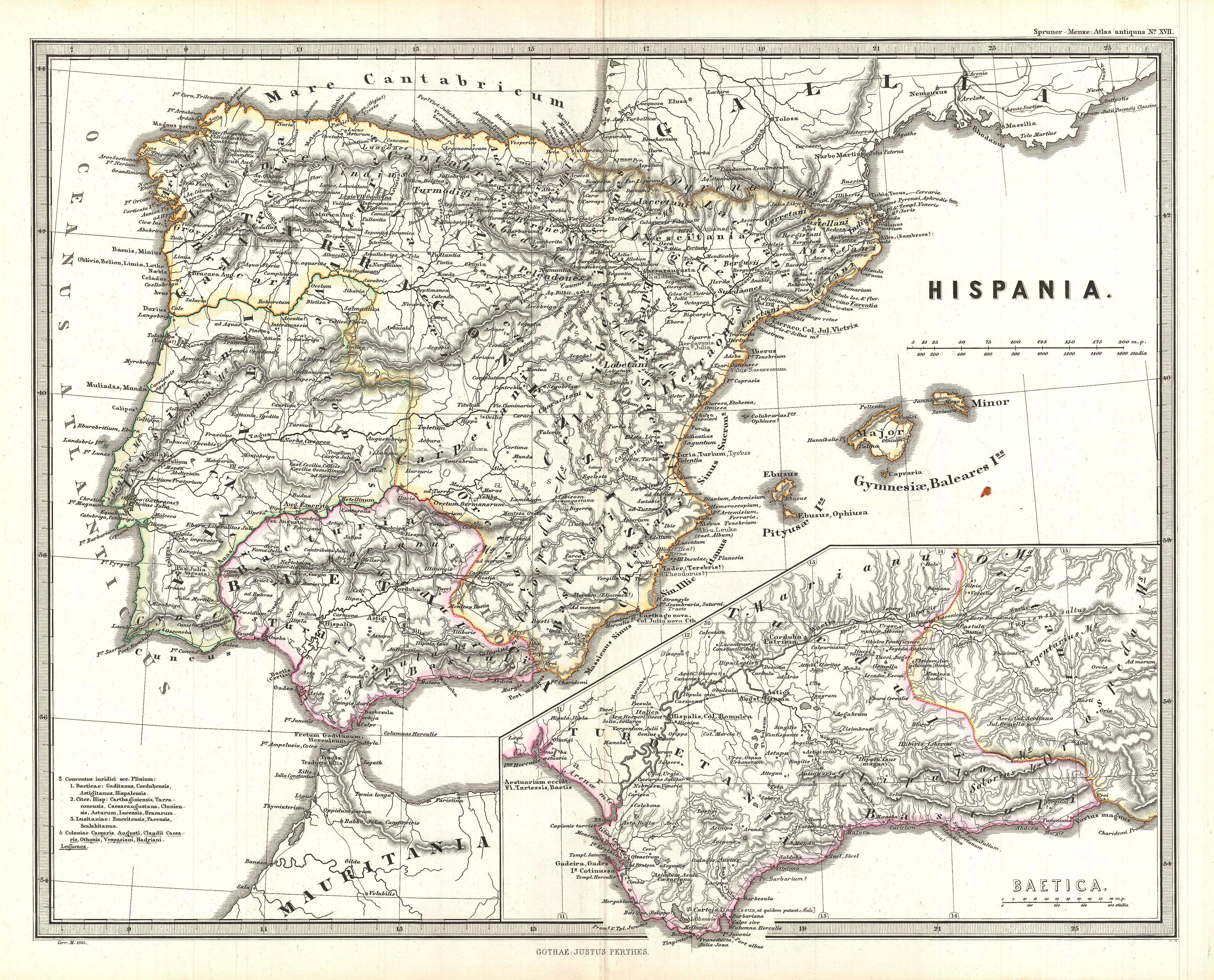
1865 Spruner Map of Spain and Portugal - Geographicus - Hispania-spruner-1865.jpg - BotMultichillT

Spain & Portugal (8249903481).jpg - File Upload Bot (Magnus Manske)

Bouillet - Atlas universel, Carte 69.png - Pibewiki

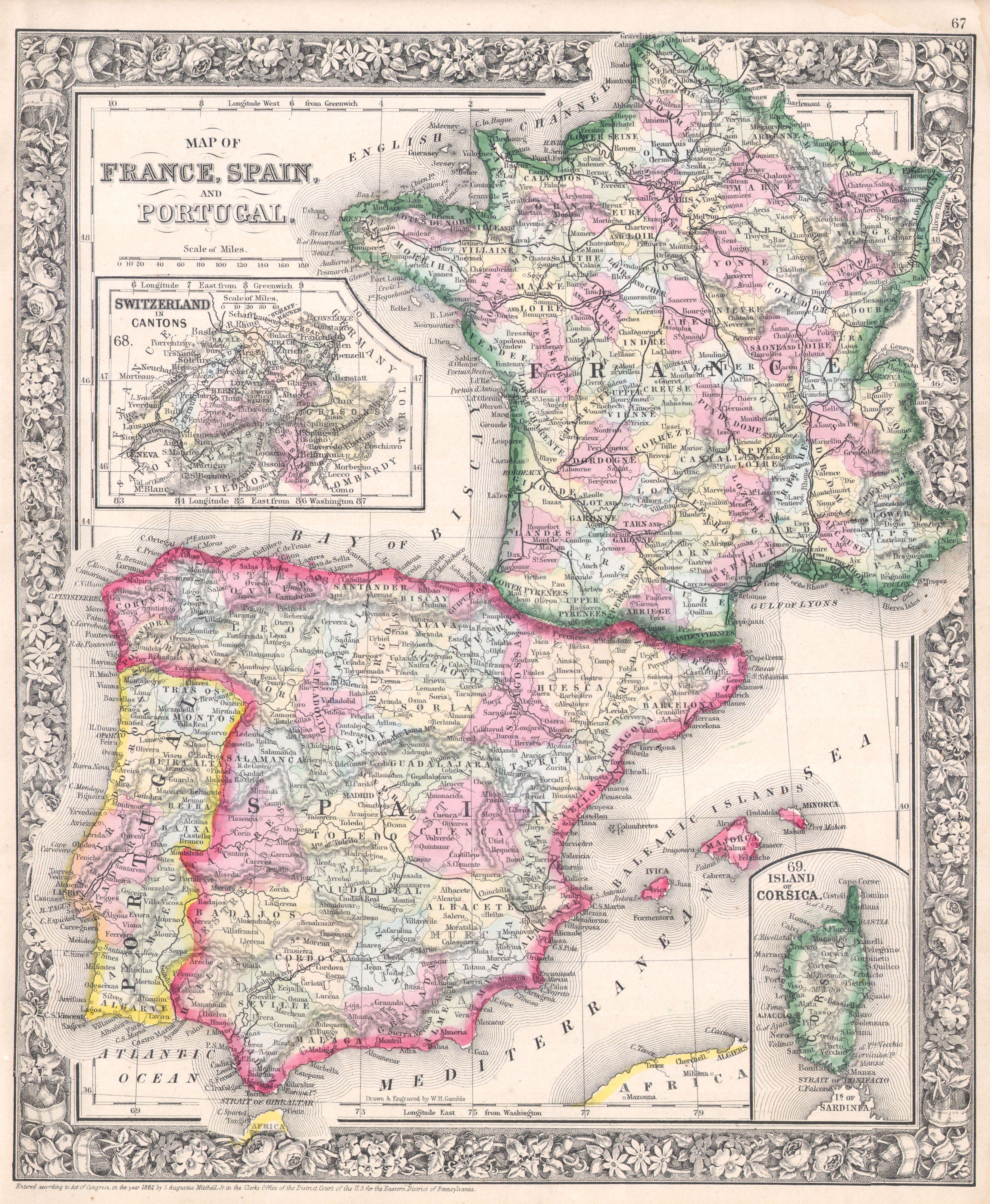
Map of France, Spain, and Portugal; Switzerland in cantons (inset); Island of Corsica (inset) (NYPL b13663520-1510829).jpg - Enyavar

Das Mittelländische Meer Und Nord-Afrika (Westliches Blatt).jpg - Higgenhorscht

Carta indicando el estado de los Caminos de hierro de España en l° de Enero de 1869, con las capitales de provincia, cabezas de partido judicial, plazas de guerra y aduanas de la Peninsula y con las estaciones de... - btv1b53006728b.jpg - Gzen92Bot

España y Portugal - por Don Francisco Coëllo - btv1b530669512.jpg - Gzen92Bot

Triangulacion geodesica de España. Estado en 30 de setbre 1865 - btv1b8443315k.jpg - Gzen92Bot

Peninsula española - por don Francisco Coello - btv1b532234841.jpg - Gzen92Bot

Chemins de fer d'Espagne et de Portugal - btv1b53063618c.jpg - Gzen92Bot