Wikimedi'Òc
Modes d'emploi

Cet album fait partie des albums
Cet album photos contient les sous-albums suivants :


J. H. Colton's School Atlas, 1860 - DPLA - 9afa4d40de861bb7b2a7e024bba61c0e (page 15).jpg - Enyavar

1864 Mitchell Map of Pennsylvania, New Jersey, Delaware and Maryland - Geographicus - PNNJMD-mitchell-1864.jpg - BotMultichill

1862 Johnson Map of Maryland and Delaware - Geographicus - MDDE-johnson-1862.jpg - BotMultichillT

1866 Johnson Map of Virginia, West Virginia, Maryland and Delaware - Geographicus - Virginia-johnson-1866.jpg - BotMultichillT

1863 Mitchell Map of Pennsylvania, New Jersey, Delaware and Maryland - Geographicus - PNNJMD-mitchell-1863.jpg - BotMultichillT

1866 Mitchell Map of New Jersey, Maryland, and Delaware - Geographicus - MarylandNewJersey-mitchell-1866.jpg - BotMultichillT

1864 Johnson Map of Virginia, West Virginia, Maryland, and Delaware - Geographicus - VirginiaWestVirginia-johnson-1864.jpg - BotMultichillT

Where to emigrate and why - describe the climate-soil-productions-minerals and general resources-amount of public lands-the quality and price of farm lands in nearly all sections of the United States; (14571700330).jpg - SteinsplitterBot

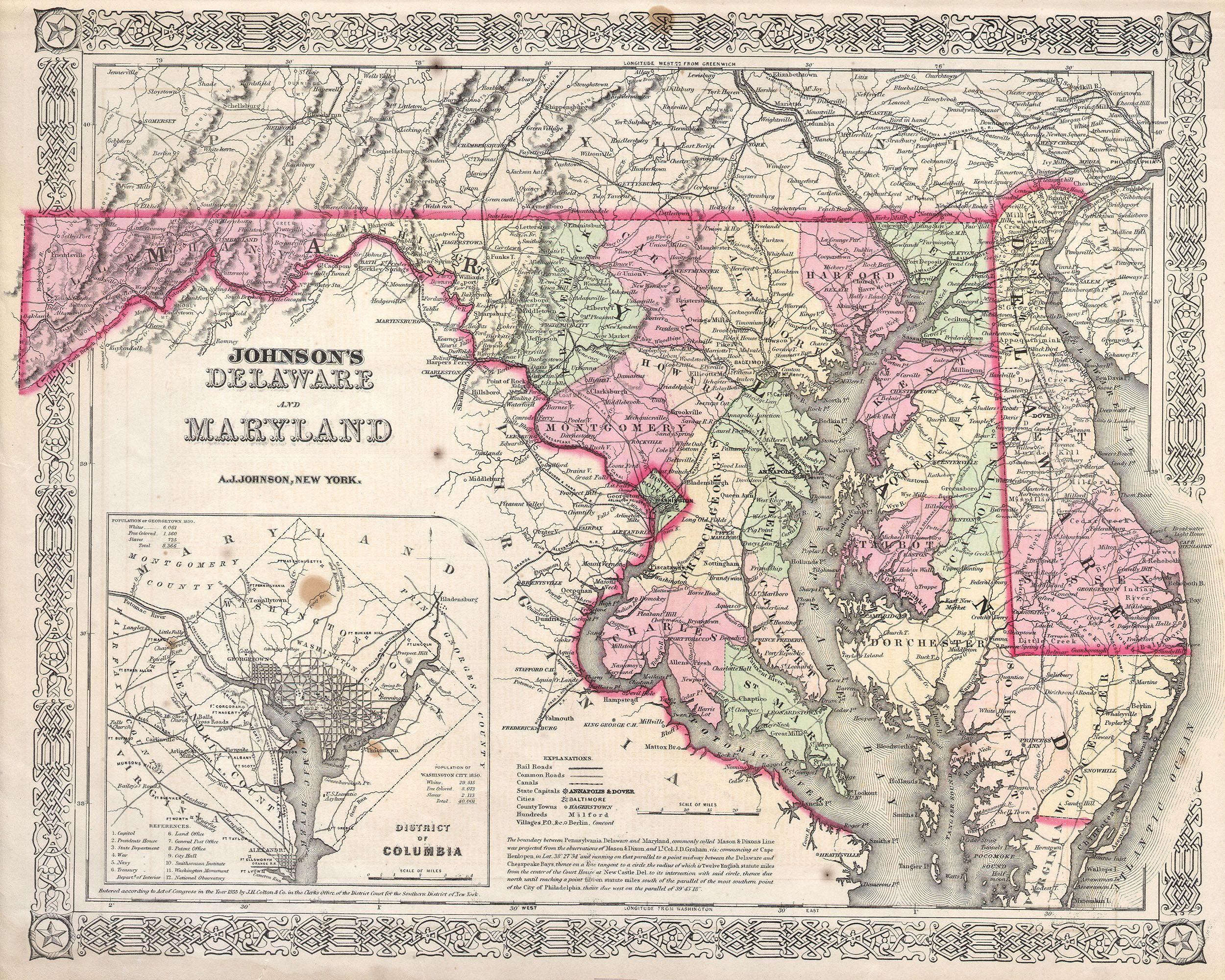
1863 Johnson Map of Delaware and Maryland - Geographicus - MDDE-j-63.jpg - BotMultichill
1864 Johnson's Map of Maryland and Delaware - Geographicus - DEMD-j-64.jpg - BotMultichill

Map of eastern Virginia LOC 79696025.jpg - Fæ