Wikimedi'Òc
Modes d'emploi

Cet album fait partie des albums
Cet album photos contient les sous-albums suivants :


Map of central America... shewing the proposed routes between the Atlantic and Pacific oceans, by way of Tehuantepeque, Nicaragua and Panama - engraved from the original drawing of John Baily... - btv1b53088978b.jpg - Gzen92Bot
1850 Mitchell Map of Mexico ^ Texas - Geographicus - MexicoTexas-m-50.jpg - BotMultichill

1854 Jacob Monk Wall Map of North America - Geographicus - AmerNorth-monk-1854.jpg - BotMultichillT

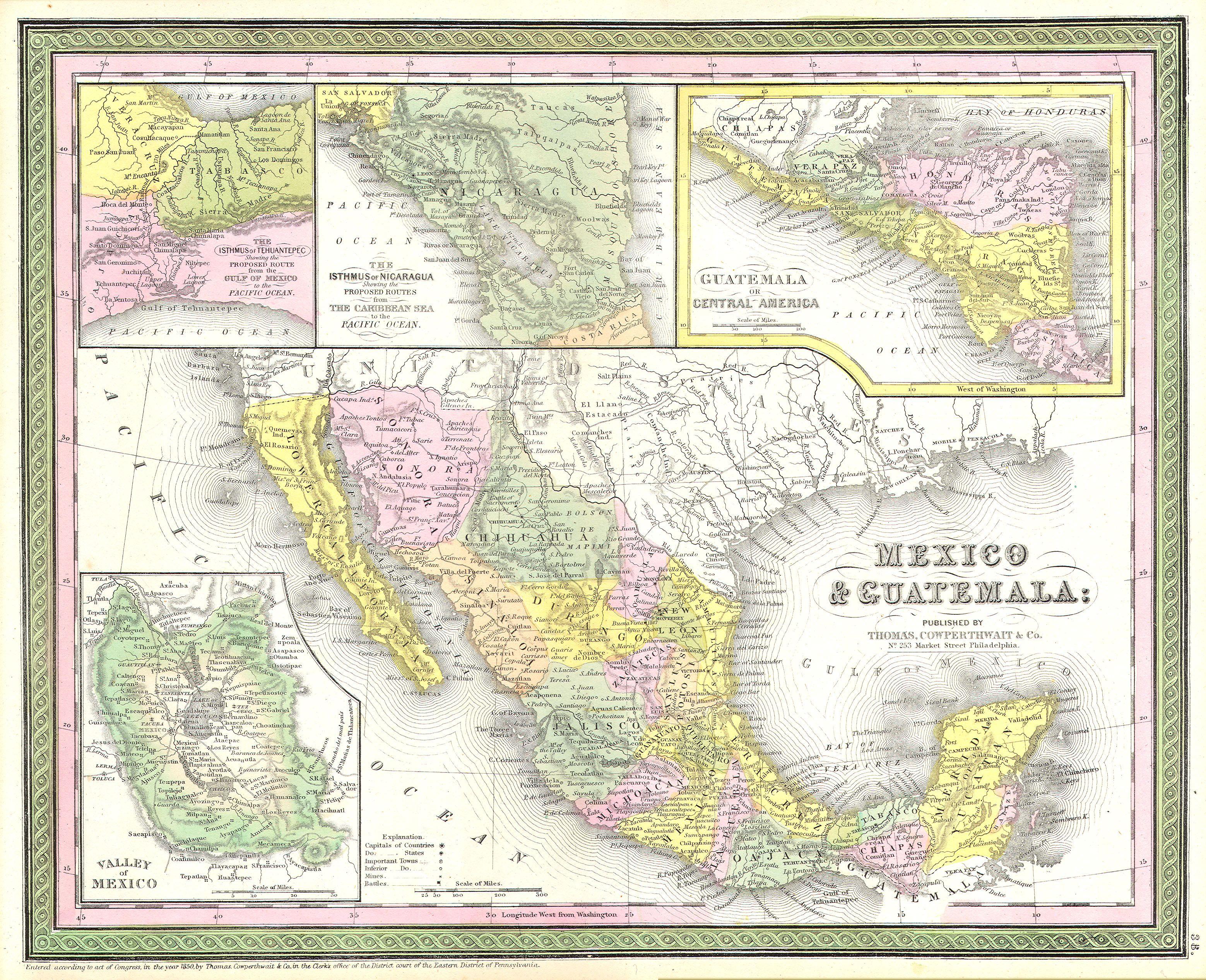
1852 Duvotenay Map of Mexico ( includes Texas and Upper California ) - Geographicus - Mexique-duvotenay-1852.jpg - BotMultichillT

1858 Dufour Map of the United States - Geographicus - UnitedStates-dufour-1858.jpg - BotMultichillT

1854 Map of USA Mexico.jpg - Infrogmation

1855 Colton Map of Central America and Jamaica - Geographicus - CentralAmerica-colton-1855.jpg - BotMultichillT

1858 map of Central America from Mitla.jpg - Kaldari

Map of Central America Including the States of Guatemala, Salvador, Honduras, Nicaragua and Costa Rica, the Territories of Belise and Mosquito, with Parts of Mexico, Yucatan and New Granada WDL654.png - Fæ
New map of that portion of North America, exhibiting the United States and territories, the Canadas, New Brunswick, Nova Scotia, and Mexico, also Central America, and the West India Islands (NYPL b20643850-5404037).tiff - Fæ

New map of that portion of North America, exhibiting the United States and territories, the Canadas, New Brunswick, Nova Scotia, and Mexico, also Central America, and the West India Islands (NYPL b20643850-5404037).jpg - Fæ

717 of 'The British Colonies; their history, extent, condition, and resources' (11036429934).jpg - Artix Kreiger 2

709 of 'The British Colonies; their history, extent, condition, and resources' (11036014556).jpg - Artix Kreiger 2

708 of 'The British Colonies; their history, extent, condition, and resources' (11035708536).jpg - Artix Kreiger 2

33 of '(The Isthmus of Darien Ship Canal. (With maps.) (With an appendix consisting of a "Vocabulary of Words in the Language of the Tule or Darien Indians".))' (11041339415).jpg - FlickreviewR 2
Map of Central America including the states of Guatemala, Salvador, Honduras, Nicaragua & Costa Rica, the territories of Belise & Mosquito, with parts of Mexico, Yucatan & New Granada - shewing the LOC 2004629005.tif - Fæ

Map of Central America including the states of Guatemala, Salvador, Honduras, Nicaragua & Costa Rica, the territories of Belise & Mosquito, with parts of Mexico, Yucatan & New Granada - shewing the LOC 2004629005.jpg - Fæ
A new map of Central America - shewing the different lines of Atlantic & Pacific communication LOC 2018588014.tif - Fæ

A new map of Central America - shewing the different lines of Atlantic & Pacific communication LOC 2018588014.jpg - Fæ
A new map of Central America - shewing the different lines of Atlantic & Pacific communication LOC 2018588008.tif - Fæ

A new map of Central America - shewing the different lines of Atlantic & Pacific communication LOC 2018588008.jpg - Fæ

Meyer‘s Zeitungsatlas 091 – Mittelamerika.jpg - Derbrauni

Map of the United States, Canada, Mexico and the West Indies with Central America, Showing All the Routes to California with a Table of Distances.jpg - Thecaribbeancoast

Part of Mexico & Central America. 1851.jpg - Thecaribbeancoast

Map of Central America Shewing The Different Lines of Atlantic & Pacific Communication.jpg - Thecaribbeancoast

Map of Central America Shewing The Different Lines of Atlantic & Pacific Communication. By James Wyld, Geographer To the Queen & H.R. H. Prince Albert.jpg - Thecaribbeancoast

New map of that portion of North America, exhibiting the United States and territories, the Canadas, New Brunswick, Nova Scotia, and Mexico, also Central America, and the West India Islands . . . 1852.jpg - Thecaribbeancoast

Amérique centrale. - Map of central America including the states of Guatemala, Salvador, Honduras, Nicaragua et Costa Rica... constructed by the Hon. E. G. Squier... - btv1b530300290.jpg - Gzen92Bot

Atlas Of The United States Of North America, Canada, New Brunswick, Nova Scotia, Newfoundland, Mexico, Central America, Cuba, And Jamaica. On A Uniform Scale. From The Most Recent State Documents... - btv1b525136486 (091 of 116).jpg - Gzen92Bot

Map of Central America. Compiled from materials furnished by the Committee on Foreign Relations of the Senate of the U.S.; edition printed by leave A. Ranney.jpg - Whentimecomes

West-Indien und Centro-America.jpg - Higgenhorscht