Wikimedi'Òc
Modes d'emploi

Cet album fait partie des albums
Cet album photos contient les sous-albums suivants :


Greenland Map 17th century.jpg - AndreasPraefcke

Jens Munk map 1624.jpg - Ramblersen
Baffin Chart of Hudson Strait.png - Dreizung

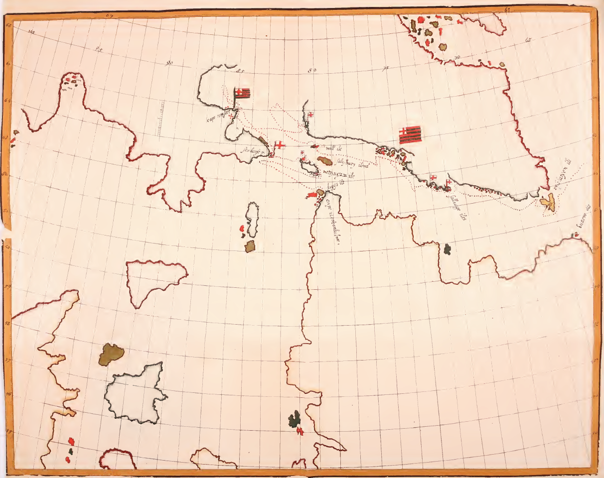
A Chart of the north part of America, describing the sea coast of Groenland, Dawies Streights, Baffins Bay, Hudsons Streights, Buttons Bay and James Bay (8430951868).jpg - File Upload Bot (Magnus Manske)
UBBasel Map Grönland Island Britische Inseln 1657 Kartenslg Mappe 247-52.tif - Basel University Library

1650 Johannes Janssonius map Northern Atlantic Greenland.jpg - Kallewirsch

1650 Johannes Janssonius map Iceland Bus Enchuyser Island.JPG - Kallewirsch

Map of Scandinavia (1600) North West.jpg - Baddu676

Map of Greenland, 1685.jpg - Baddu676

Atlante Veneto Volume 2 124.jpg - Balkanique

The Strange and Dangerous Voyage (Thomas James, 1633) - 2 foldout map The Platt of Sayling - 1 full view.png - Wikipetzi

Carte de Groenland (1647) - Isaac La Peyrère - 1 full.png - Wikipetzi

Estotilandia et Laboratoris Terra - btv1b531712374 (1 of 2).jpg - Gzen92Bot

A Chart of Greenland, Cherry Islandand Hope Island, by Iohn Seller in Wapping - btv1b5972617j.jpg - Gzen92Bot

Pascaerte van Groen-landt, Yslandt, Straet Davids en Ian Mayen eylandt, hoemen de selvige van Hitlandt en de noort custen van Schotlandt en Yrlandt beseylen mach. GF 227. Pièce 6.jpg - BFT - Bibliothèque Interuniversitaire de la Sorbonne

Pascaarte vande noorder zeekusten van America van Groenland door de Straet Davis en Hudson tot aen Terra Neuf. R 2= 22. Pièce 40.jpg - BFT - Bibliothèque Interuniversitaire de la Sorbonne