Wikimedi'Òc
Modes d'emploi

Cet album fait partie des albums
Cet album photos contient les sous-albums suivants :


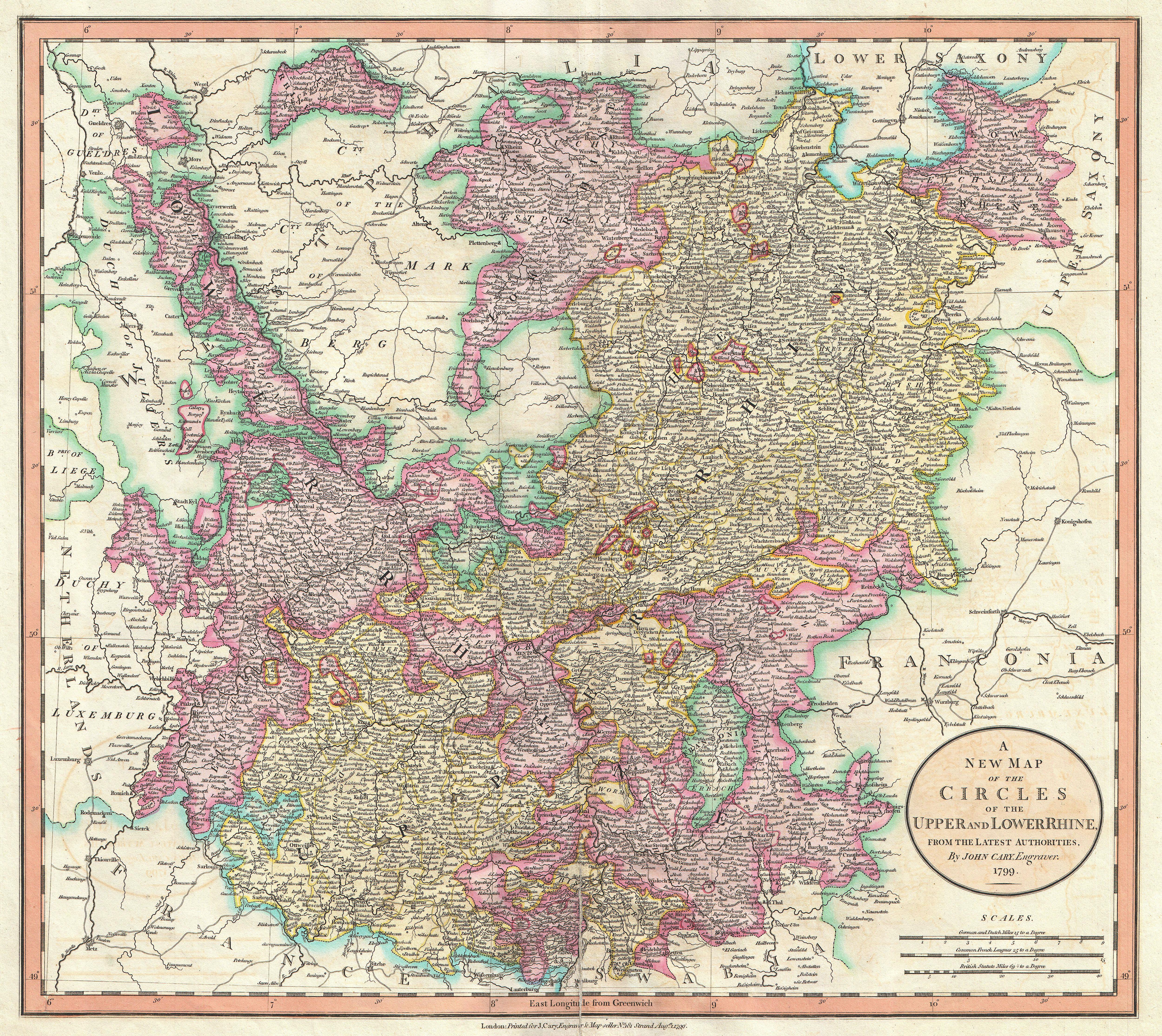
1799 Cary Map of the Upper and Lower Rhine - Geographicus - Rhine-cary-1799.jpg - BotMultichillT

Carte de l'empire d'Allemagne... dressée d'après la carte de l'Académie royale de Berlin... - par H. Jaillot ; où toutes les routes sont tracées par M. Poirson... - btv1b53085868h.jpg - Gzen92Bot

Map of Western Europe in 1791 by Reilly 0006.jpg - Ephraim33

Map of Western Europe in 1791 by Reilly 0006b.jpg - Ephraim33

Map of Germany and Switzerland in 1791 by Reilly 092.jpg - Ephraim33

Map of Germany and Switzerland in 1791 by Reilly 092b.jpg - Ephraim33

Reilly Allgemeiner Postatlas Deutschland.jpg - Ephraim33

1799 Celement Cruttwell Map of Germany - Geographicus - GermanySwitzerland-cruttwell-1799.jpg - BotMultichillT

Carte d'Allemagne contenant les états de la maison d'Autriche, les électorats de Mavence, Trèves, Cologne, Bavière, du Haut et Bas Rhein, de Saxe, de Brandebourg et d'Hanovre, le royaume de Bohême, la Silésie... - btv1b53063321h.jpg - Gzen92Bot