×

Map of Most Inhabited Part of Virginia with the Whole Province of Maryland with Part of Pennsylvania, New Jersey, and North Carolina - NARA - 78117656.jpg - US National Archives bot

PhiladelCampaignHessianMap.jpg - File Upload Bot (Magnus Manske)

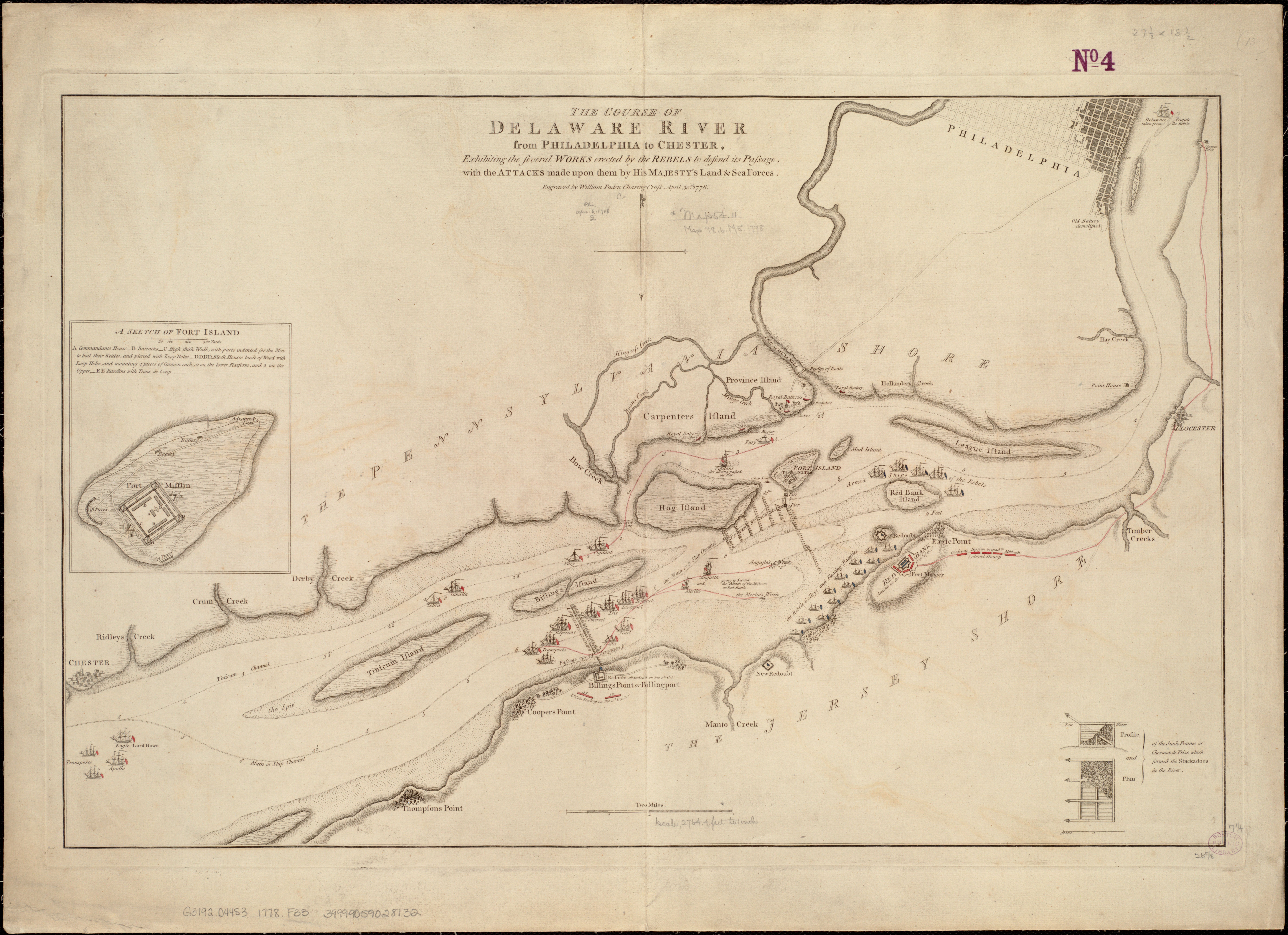
The course of Delaware River from Philadelphia to Chester, exhibiting the several works erected by the rebels to defend its passage, with the attacks made upon them by His Majestys land & sea forces (5120559789).jpg - Tm

Carte de la Baye et Riviere de Délaware, contenant une éxacte et entiére description des rivages, criques, havres, sondes, bas-sonds, sables et gissements des marques ... (3120016319).jpg - File Upload Bot (Magnus Manske)

A chart of Delaware Bay and River - containing a full and exact description of the shores, creeks, harbours, soundings, shoals, sands, and bearings of the most considerable land marks, from the capes NYPL434492.tiff - Enyavar

Susquehanna River to Schuylkill River, Chesapeake Bay to Delaware Bay. NYPL484199.tiff - Fæ

A chart of Delaware Bay and River, containing a full & exact description of the shores, creeks, harbours, soundings, shoals, sands, and bearings of the most considerable land marks, from the cape to LOC 73694805.tif - Fæ

A chart of Delaware Bay and River - containing a full and exact description of the shores, creeks, harbours, soundings, shoals, sands, and bearings of the most considerable land marks, from the capes LOC 74692202.tif - Fæ

A chart of Delaware Bay and River - containing a full and exact description of the shores, creeks, harbours, soundings, shoals, sands, and bearings of the most considerable land marks, from the capes LOC 74692202.jpg - Fæ

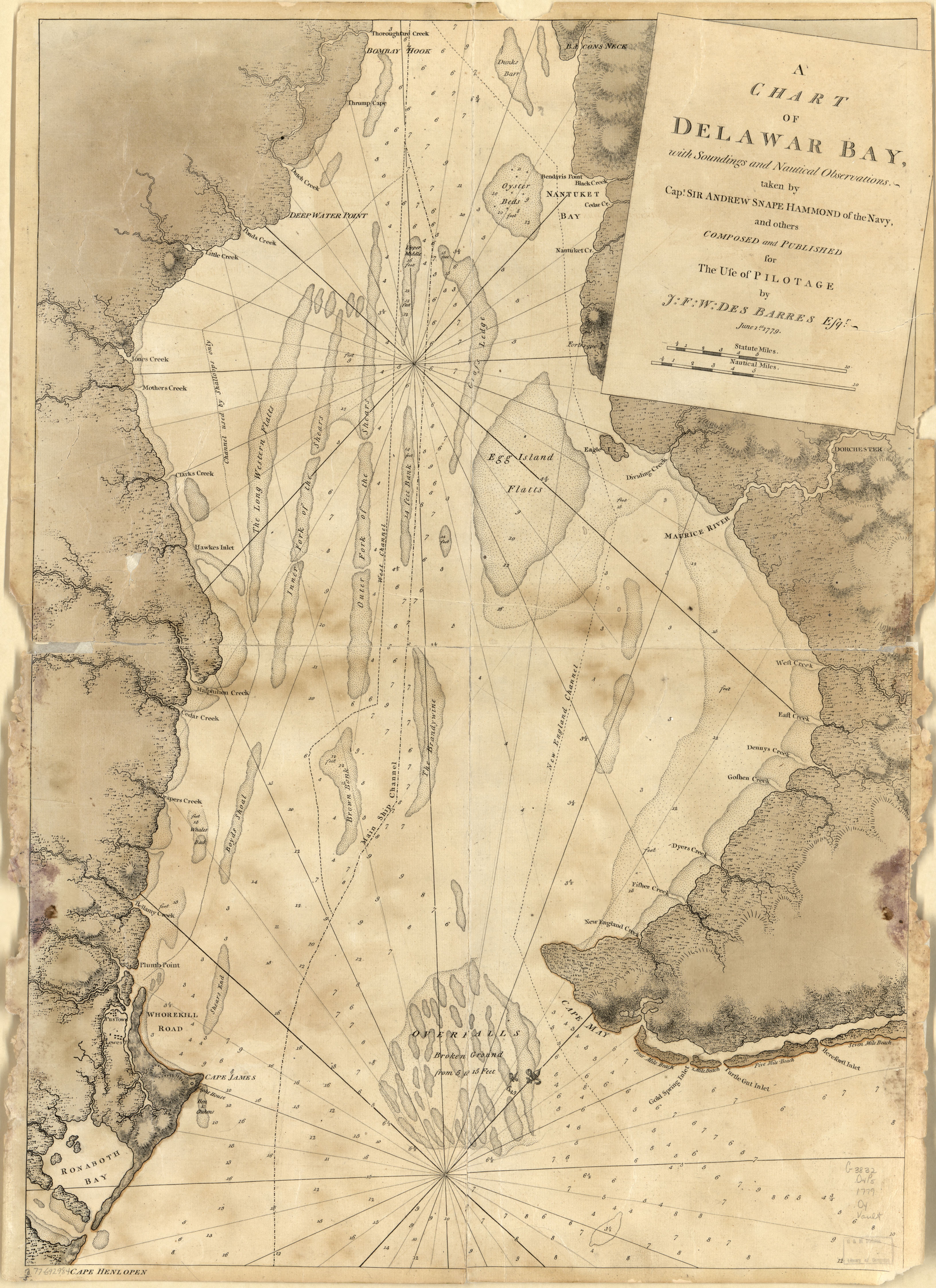
A chart of Delawar Bay, with soundings and nautical observations. LOC 77692984.tif - Fæ

A chart of Delawar Bay, with soundings and nautical observations. LOC 77692984.jpg - Fæ

(Map of proposed roads through the southeastern part of Pennsylvania, the northeastern part of Maryland, and the northern part of Delaware). LOC 79695387.jpg - Fæ
❮
❯


