Wikimedi'Òc
Modes d'emploi

Cet album fait partie des albums
Cet album photos contient les sous-albums suivants :


A Map of Part of the Inland Country to the North West of Prince of Wales Fort Hudon's, Bay Samuel Hearne 1772 (1969).jpg - Geo Swan

A new and accurate map of the present seat of war in North America (4231156673).jpg - File Upload Bot (Magnus Manske)

Map of the Grand Banks off the coast of Newfoundland (14386835769).jpg - Fæ
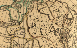
British Dominions (map by William Doyle and J. Prockter, 1770).jpg - Kenny Lane

A Chart of the Streights of Belle Isle - R. Sayer - btv1b53089735x (1 of 2).jpg - Gzen92Bot

A chart of the South-East part of Newfoundland - btv1b5970486g (1 of 2).jpg - Gzen92Bot

A Plan of St John's River - Lange - btv1b53089981z (1 of 2).jpg - Gzen92Bot