Wikimedi'Òc
Modes d'emploi

Cet album fait partie des albums
Cet album photos contient les sous-albums suivants :


1732 Amiens detail of General Map of Great Britain and Ireland, with Part of Germany, Holland, Flanders, France by Moll BPL 14557.png - M2545
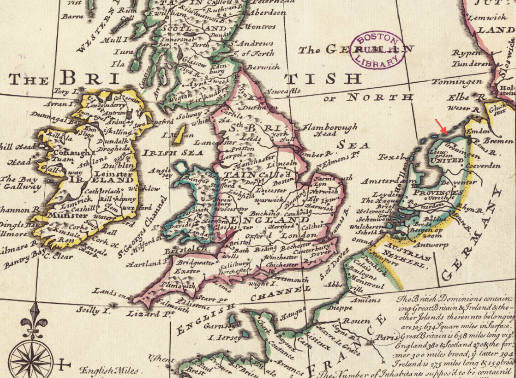
1732 Groningen detail of General Map of Great Britain and Ireland, with Part of Germany, Holland, Flanders, France by Moll BPL 14557.png - M2545
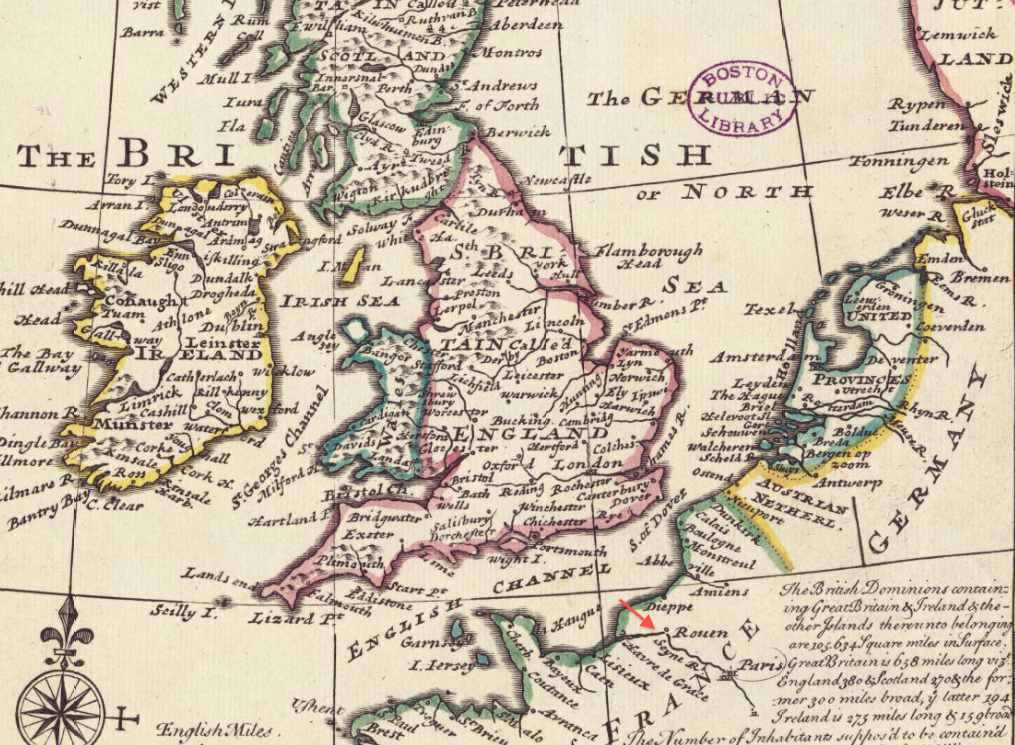
1732 Rouen detail of General Map of Great Britain and Ireland, with Part of Germany, Holland, Flanders, France by Moll BPL 14557.png - M2545

1732 Rotterdam detail of General Map of Great Britain and Ireland, with Part of Germany, Holland, Flanders, France by Moll BPL 14557.png - M2545

A pocket companion of Ireland, containing all the cities, market towns, boroughs, all ye great roads, and principal cross roads with the computed miles from town to town (5375550325).jpg - LlywelynII
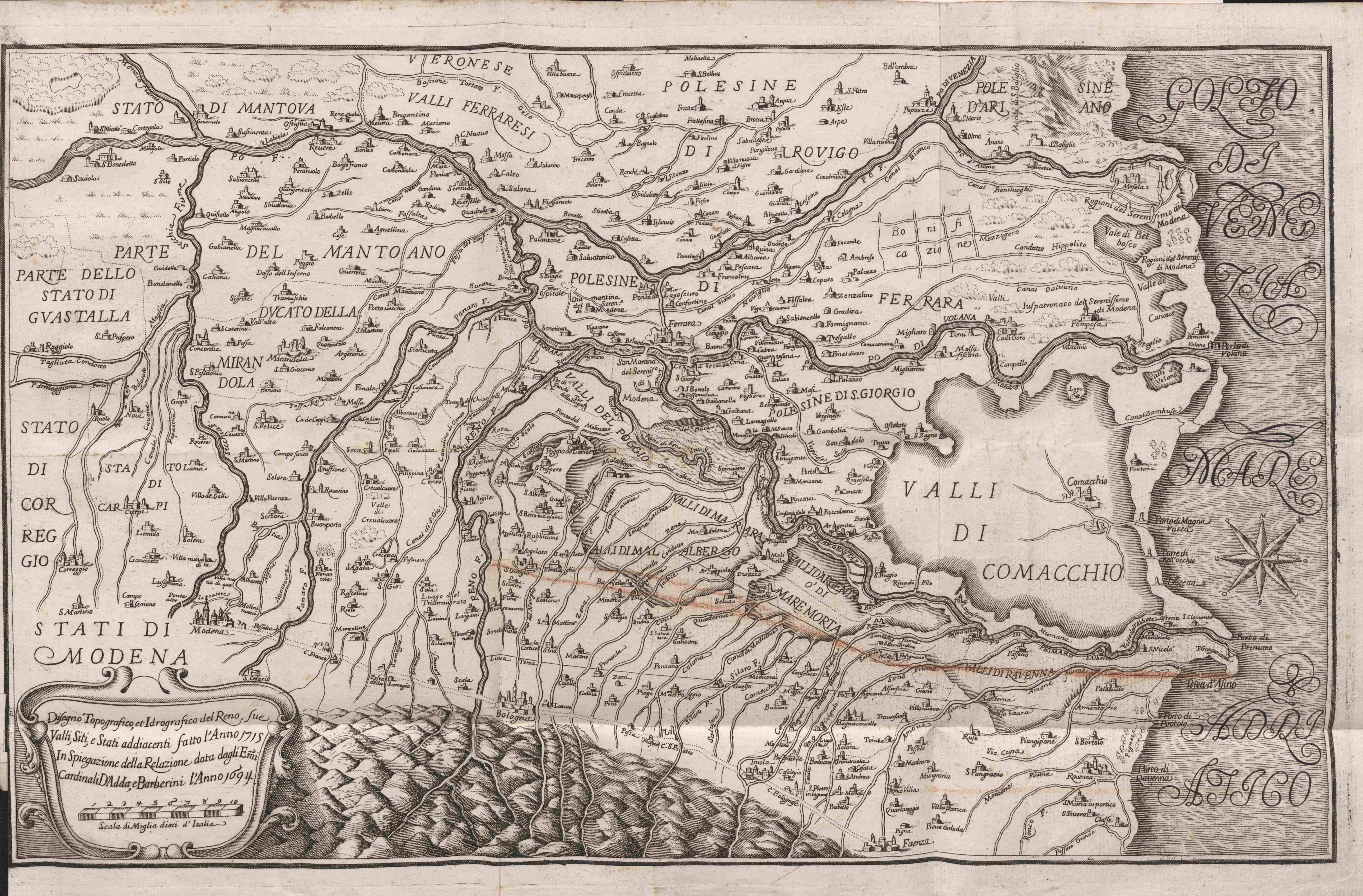
Topografia e idrografia del Reno 1732.jpg - Chiara Consonni (BEIC)

St. Helena, this island belongs to ye English east India Company whose ships usually touch here for a recruit of fresh water and provisions - ; The bay of Agao de Saldanha, this bay is 70 miles north (5961367644).jpg - Fæ

Karte - Germania Benedictina - Benediktinerklöster in Deutschland - Homann - 1732.jpg - DALIBRI