Wikimedi'Òc
Modes d'emploi

Cet album fait partie des albums
Cet album photos contient les sous-albums suivants :


US 60 (VA) map.svg - 25or6to4

Skipping Rocks on the River.jpg - File Upload Bot (Magnus Manske)

US Route 301 - Virginia (8117270022).jpg - File Upload Bot (Magnus Manske)

US Route 522 - 2011-10-14 12 48 Virginia (6326669777).jpg - File Upload Bot (Magnus Manske)

US Route 522 - 2011-10-14 12 48 Virginia (6326669957).jpg - File Upload Bot (Magnus Manske)

NB Interstate 95 at Exit 67A (VA Toll 895), Bensley, VA.jpg - File Upload Bot (Magnus Manske)

NB Interstate 95 at Exit 67B (VA 150), Bensley, VA.jpg - File Upload Bot (Magnus Manske)

NB I-95; One-and-a-half miles from Exits 67 A-B; VA 150-895.jpg - File Upload Bot (Magnus Manske)

NB I-95; Half mile from Exit 67A (VA 895); One mile from Exit 67B (VA 150).jpg - File Upload Bot (Magnus Manske)

150-360-60on95s (3844517491).jpg - File Upload Bot (Magnus Manske)

Flooding at the Richmond Train Station (7790613766).jpg - File Upload Bot (Magnus Manske)

Northeast corner 25th and Broad streets (3595197339).jpg - File Upload Bot (Magnus Manske)

Historic Triangle sign on U.S. Route 60 just west of Grove, Virginia near Busch Gardens Europe theme park 2-03-2008.jpg - Rcsprinter123
U.S. Route 60 elliptical spandrel arch grade separation structure, built in 1959. This view shows the east elevation. This structure type was used nearly exclusively at the HAER NC,11-ASHV.V,2-21.tif - Fæ
U.S. Route 60 grade separation structure. Detail of the arch stones on the east elevation. View facing north. - Blue Ridge Parkway, Between Shenandoah National Park and Great HAER NC,11-ASHV.V,2-22.tif - Fæ

US 60 Virginia 1926.svg - Fredddie

US501 Northern Terminus Buena Vista VA.JPG - Innotata

Buildings in Cumberland, VA.JPG - Ser Amantio di Nicolao

US 220 US Route 220 - Virginia (14090378121).jpg - Ser Amantio di Nicolao

US 220 US Route 220 - Virginia (14090375201).jpg - Ser Amantio di Nicolao

US 220 US Route 220 - Virginia (14090478122).jpg - Ser Amantio di Nicolao

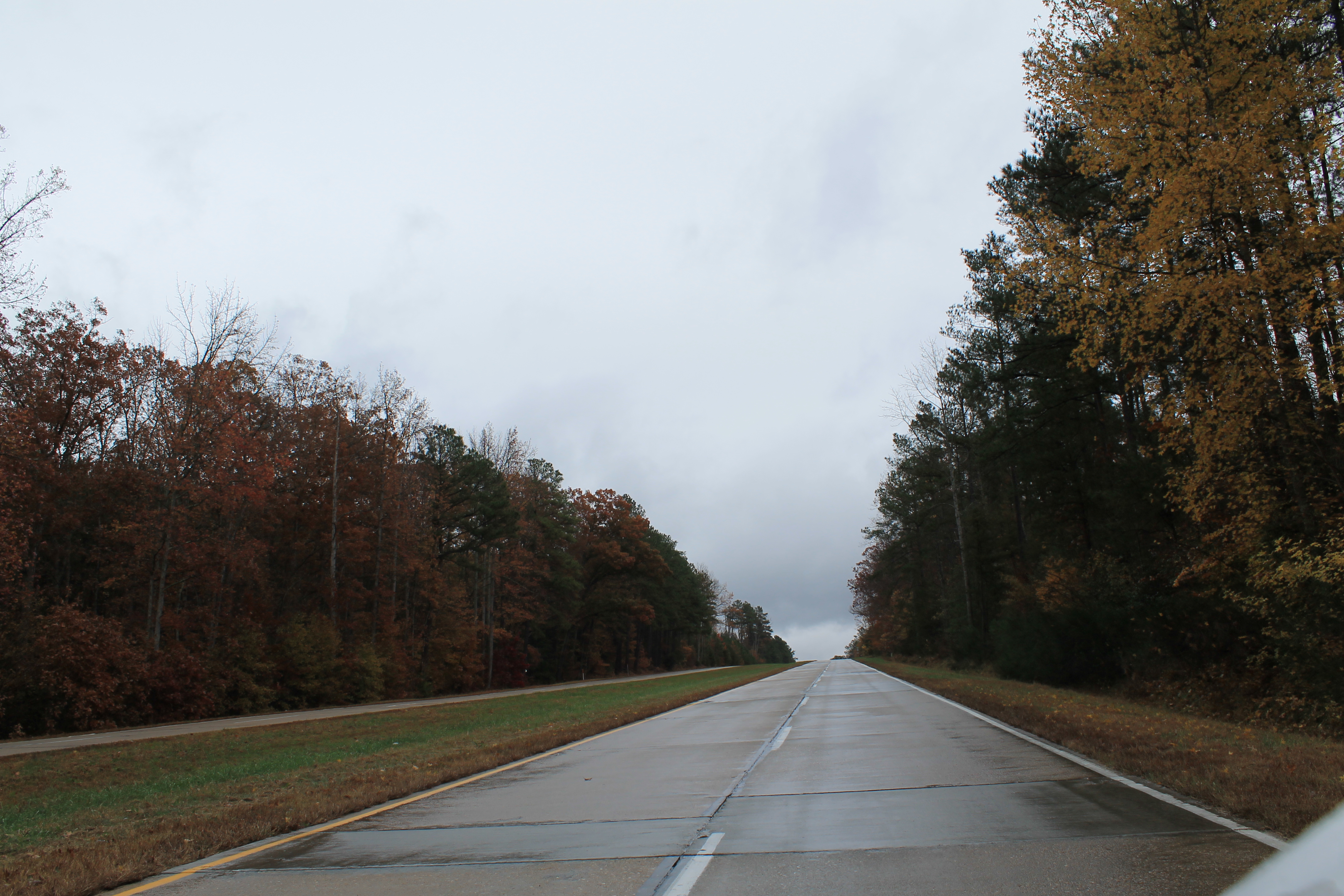
2016-05-27 11 27 38 View east along the W James Anderson Highway (U.S. Route 60) just after crossing the Gladstone Bridge over the James River from Nelson County to Appomattox County, Virginia.jpg - Famartin
The Commonwealth of Virginia - panoramio.jpg - Panoramio upload bot

U.S. Route 60 Richmond, VA (24365080992).jpg - Fæ

U.S. Route 60 Virginia Beach Fail (24472150515).jpg - Fæ

Route 60 Richmond (5206192675).jpg - Fæ

U.S. Route 60 Virginia Beach Terminus (24906675810).jpg - Fæ

U.S. Route 60 East to West (24643700864).png - Fæ

U.S. Route 60 Virginia Beach (24905514140).jpg - Fæ

2017-07-05 19 05 55 View west along Virginia State Route 322 (Galt Drive) at Ironbound Road and Depue Drive (Virginia State Secondary Route 615) at the Eastern State Hospital just northwest of Williamsburg in James City County, Virginia.jpg - Famartin

2017-07-07 13 58 38 View west along U.S. Route 60 (Main Street) at 9th Street in Richmond, Virgina.jpg - Famartin

2017-07-07 13 58 43 View west along U.S. Route 60 (Main Street) at 9th Street in Richmond, Virgina.jpg - Famartin

2017-07-07 16 36 10 View south along Virginia State Route 409 (G W King Boulevard) at U.S. Route 60 (Pocahontas Trail) at the New Kent Forestry Center in Windsor Shades, New Kent County, Virginia.jpg - Famartin
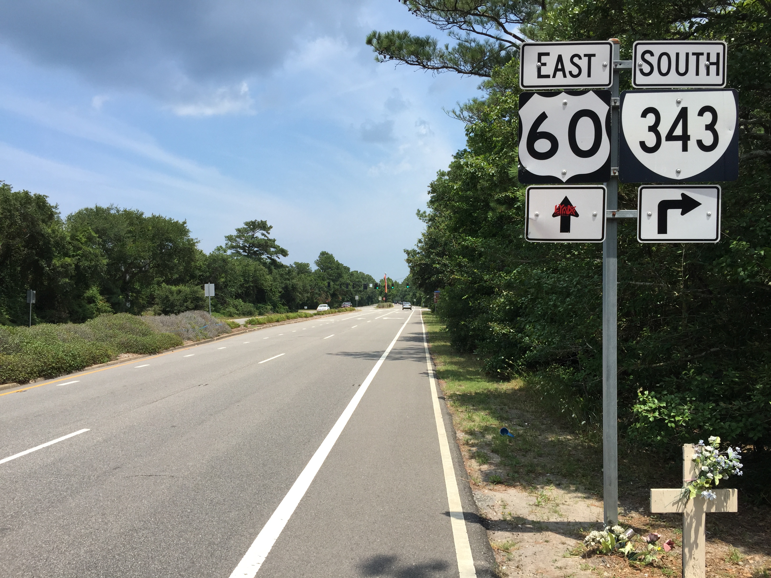
2017-07-12 13 36 30 View east along U.S. Route 60 (Shore Drive) at Virginia State Route 343 within First Landing State Park in Virginia Beach, Virginia.jpg - Famartin

Misplaced U.S. Route 18.jpg - Nyttend

I-64 at US 60 Aerial (38666139042).jpg - Tyler ser Noche

US60eRoadSign-NearInt64 (38698954111).jpg - Tyler ser Noche

US17sUS258sRoad-JamesRiverBridge-US60ewSigns (39303215042).jpg - Tyler ser Noche

US60 Aerial - Takeoff PHF (27555270159).jpg - Tyler ser Noche

Int64wUS60wRoadSigns (33029383474).jpg - Tyler ser Noche

Int64wRoad-Int64wUS60wUS220nSigns (33029384684).jpg - Tyler ser Noche
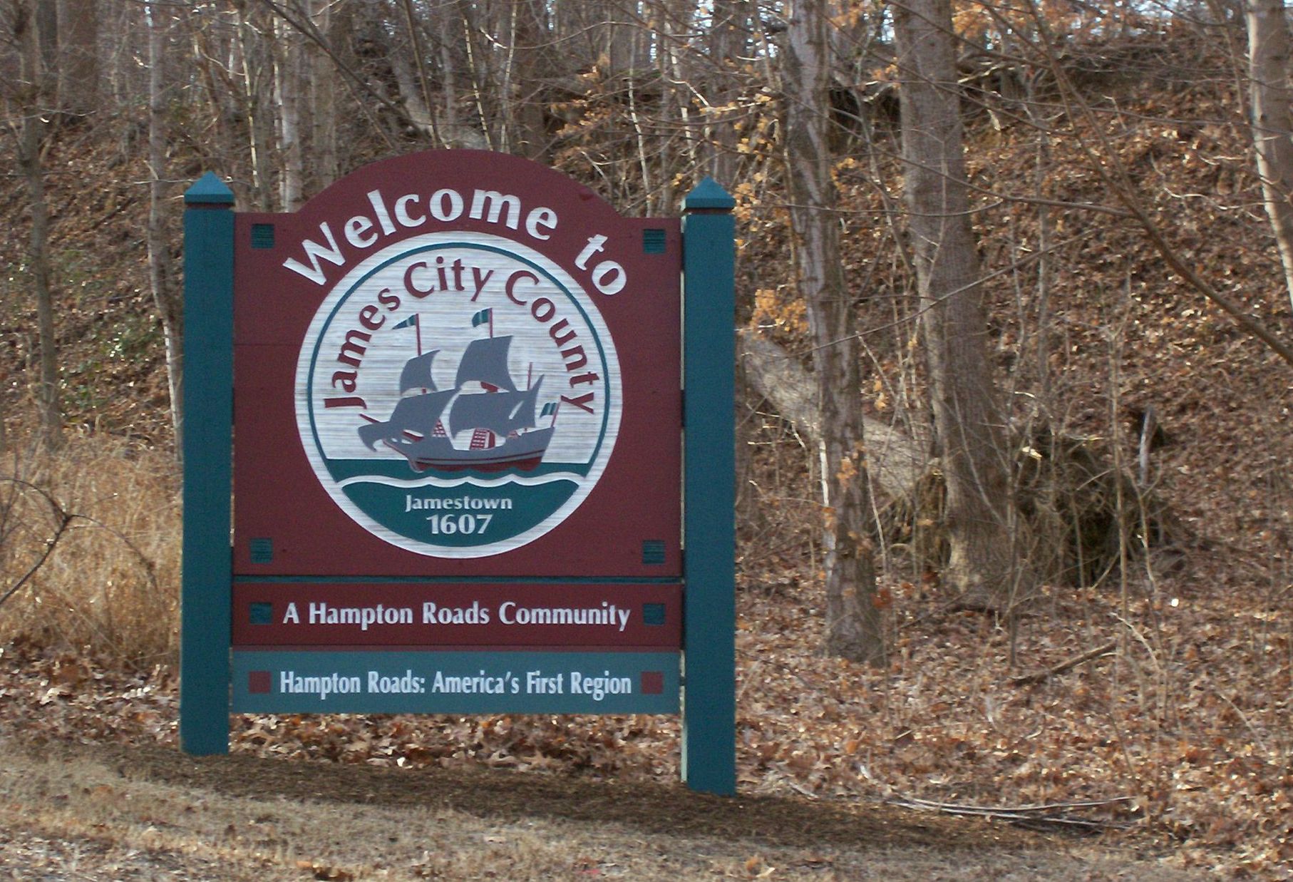
James City County sign on US 60 entering from east at Skiffe's Creek.jpg - Vaoverland

Devils Elbow WV USA 2018.png - Wv funnyman

US 60 WB past Westsail Lane.jpeg - Dough4872