Wikimedi'Òc
Modes d'emploi

Cet album fait partie des albums
Cet album photos contient les sous-albums suivants :


Annals of the Carnegie Museum (1910-1911) (18227422019).jpg - Fæ
The Coast of West Florida and Louisiana - the Peninsula and Gulf of Florida or Channel of Bahama with the Bahama Islands LOC 2014589385.tif - Fæ
Carte de la Floride occidentale et Louisiane. La peninsule et golfe de la Floride ou canal de Bahama avec les isles de Bahama. LOC 73694440.tif - Fæ

Admiralty Chart No 408 Harbours and Anchorages in the Bahama Islands, Published 1963.jpg - Kognos

Admiralty Chart No 1469 Crooked Island anchorage, Published 1843.jpg - Kognos

Admiralty Chart No 1509 Ship Channel leading from Exuma Sound across the New Providence Bank towards the tongue of the ocean, Published 1845.jpg - Kognos

Admiralty Chart No 399 Man of War Cay anchorage, Published 1830.jpg - Kognos

Admiralty Chart No 400 Pelican and Little Harbours, Published 1830.jpg - Kognos

Admiralty Chart No 3006 Anchorages and Harbours on the North West Side of the Great Bahama Bank From surveys by Commanders Richard Owen and Edward Barnett, and Lieutenant Thomas Smith, H.M.S. Thunder and Lark, 1836-9, Published 1898.jpg - Balkanique

Admiralty Chart No 408 Harbours and Anchorages in the Bahama Islands, Published 1897, New Edition 1922.jpg - Kognos
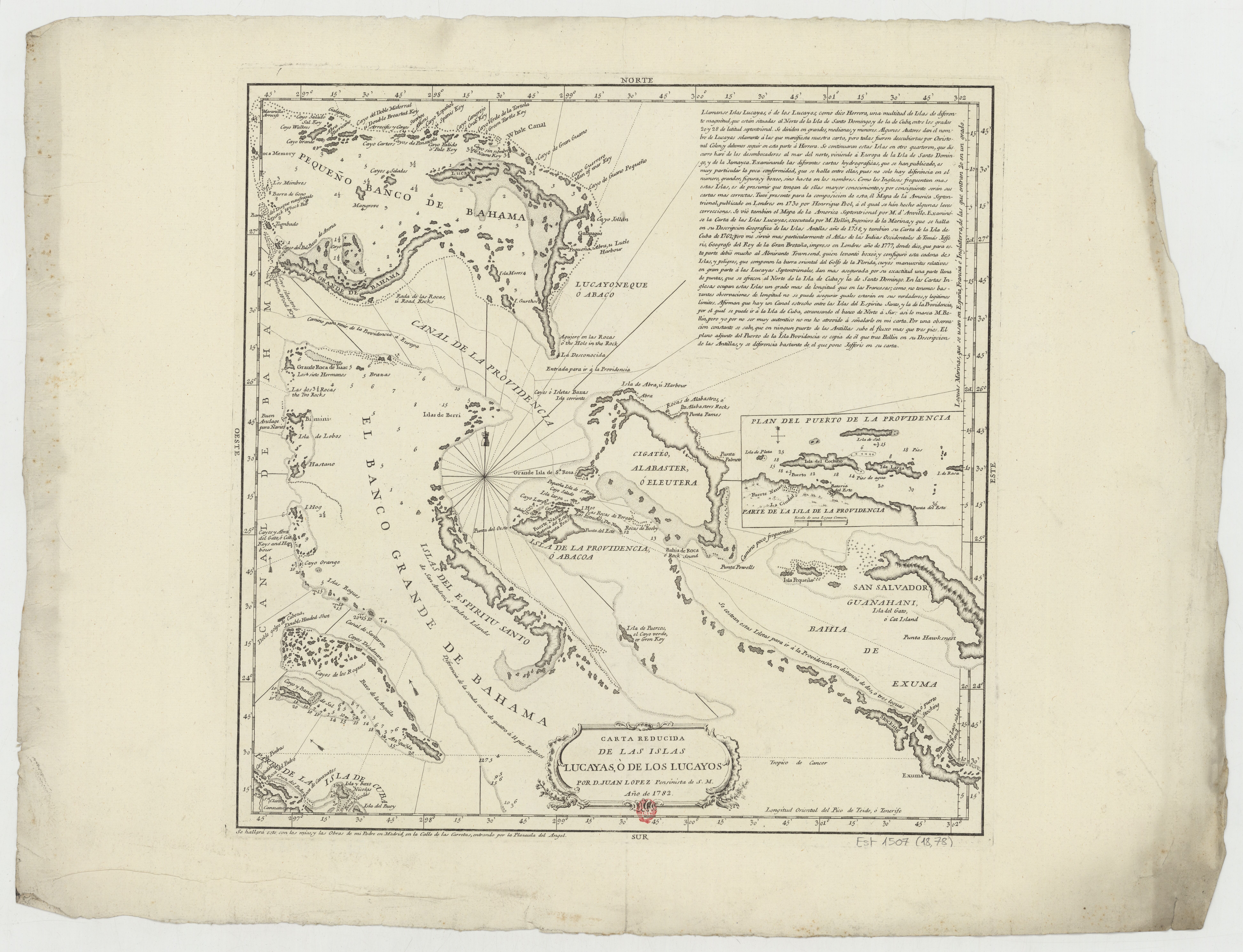
Carta reducida de las islas Lucayas o de los Lucayos - por D. Tomas López... - btv1b53227015f (1 of 2).jpg - Gzen92Bot

Chart No 761 West India Islands and Caribbean Sea Sheet 1, Published 1960.jpg - Kognos

Admiralty Chart No 2075 Old Bahama Channel to Exuma, Published 1959.jpg - Kognos

Admiralty Chart No 390 Approaches to Freeport, Published 1964.jpg - Kognos

Admiralty Chart No 3042 Harbours and Anchorages in the Bahamas, Published 1899, New Edition 1929.jpg - Kognos

Admiralty Chart No 405 Harbours and Anchorages in the Bahama Islands, Published 1897, New Edition 1930.jpg - Kognos

Admiralty Chart No 398 Freeport Harbour, Published 1960, New Edition 1964.jpg - Kognos

Admiralty Chart No 1266 Islands and Banks between San Salvador and Santo Domingo, Published 1889, New Edition 1916.jpg - Kognos