Wikimedi'Òc
Modes d'emploi

Cet album fait partie des albums
Cet album photos contient les sous-albums suivants :


Largest Panethnic Groups in Atlantic Canada, 2021 Census.jpg - Van00220

Gander Lake map.png - Flappiefh

Long Gull Pond.jpg - WayneRay

Ile Saint-Paul (Nouvelle-Ecosse).png - Mikmaq

Isla Saint Paul (Nueva Escocia).png - Mikmaq

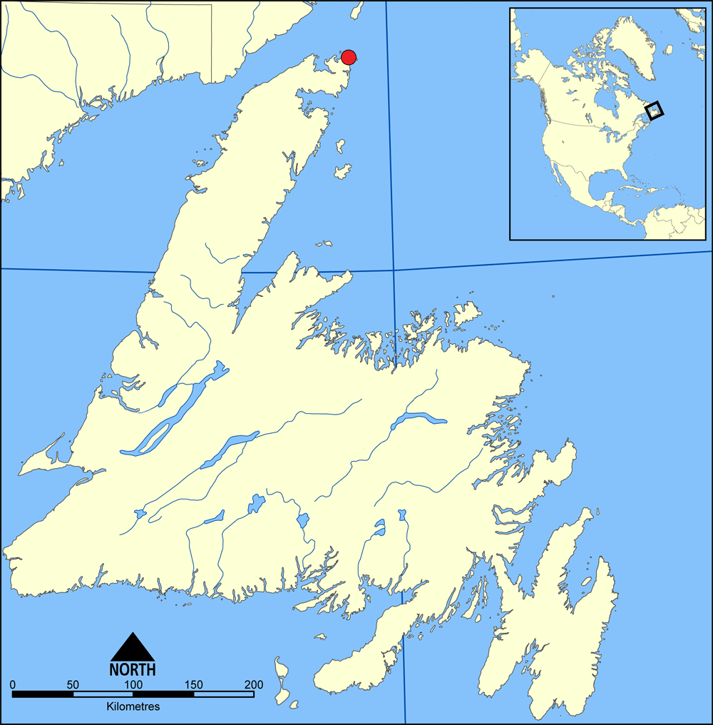
Newfoundland Grey isl.svg - Feydey

Strait of belle isle.png - Nopira

Detroit de Cabot.png - Mikmaq

Estrecho de Caboto.png - Mikmaq
Newfoundland map blank.png - Flappiefh
L'Anse aux Meadows map.png - Flappiefh

Marine Atlantic ferry ports.png - File Upload Bot (Magnus Manske)

CapeShore.JPG - Trollcollins
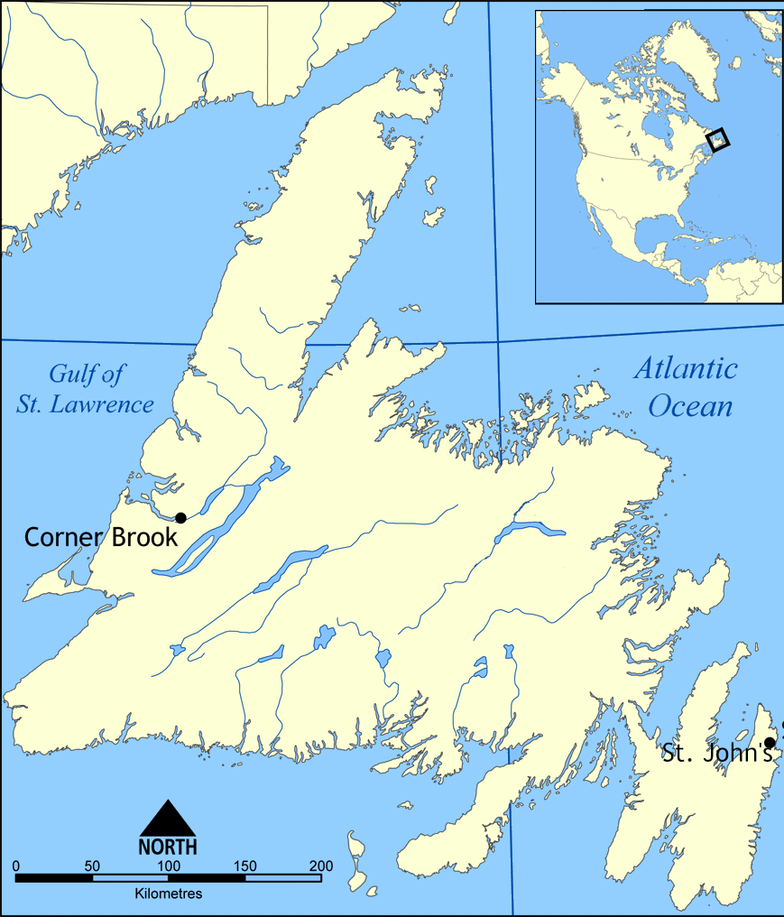
Newfoundland map.png - Flappiefh

Fogo Island and St. John's on the Avaon Peninsula.png - Geo Swan

Harbour Grace.JPG - TheImaCow

Saint-Pierre and Miquelon EEZ map-fr.svg - Mapeh
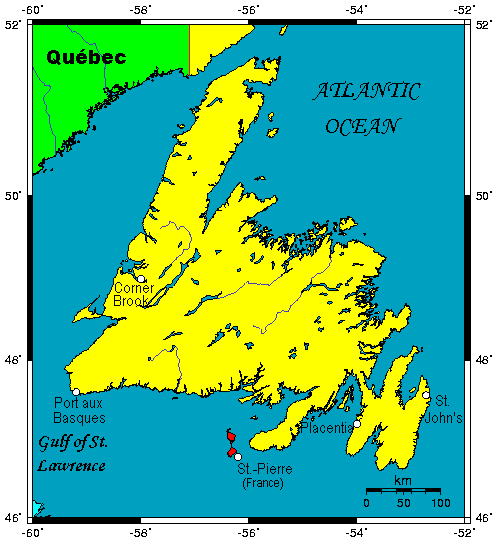
Nfldmap.gif - Telim tor

Newfoundland Map.PNG - Telim tor

Euskara ternuan.jpg - AZKUE fundazioa

Igor 2010 rainfall.gif - Cyclonebiskit

Treaty Shore of Newfoundland.png - Flappiefh

Newfounland railway.svg - Jkan997

Terre-Neuve.png - Flappiefh

Péninsule de Port-au-Port.png - Parigot

Bay Bulls (9492653063).jpg - File Upload Bot (Magnus Manske)

Terre-Neuve (Nouvelle-France) Approximation.png - Flappiefh

Newfoundland be-map.svg - Frantishak

GrNorthPeninsulaNewfld.png - Amqui

Newfoundland general election, 1832.svg - MrPenguin20

Dominion of Canada and Newfoundland (14017029213).jpg - Fæ

Dominion of Canada and Newfoundland (13783154483).jpg - Fæ

Dominion of Canada and Newfoundland (13783141635).jpg - Fæ

A new map of the only useful and frequented part of New Found Land (13781865175).jpg - Fæ

French treaty rights in Newfoundland (microform) - the case for the colony stated by the people's delegates, Sir J. S. Winter, K.C.M. G., Q. C., P.J. Scott, Q.C., and A.B. Morine, M.L.A (1890) (20601632636).jpg - Fæ

The Bell System technical journal (1922) (14755888245).jpg - SteinsplitterBot

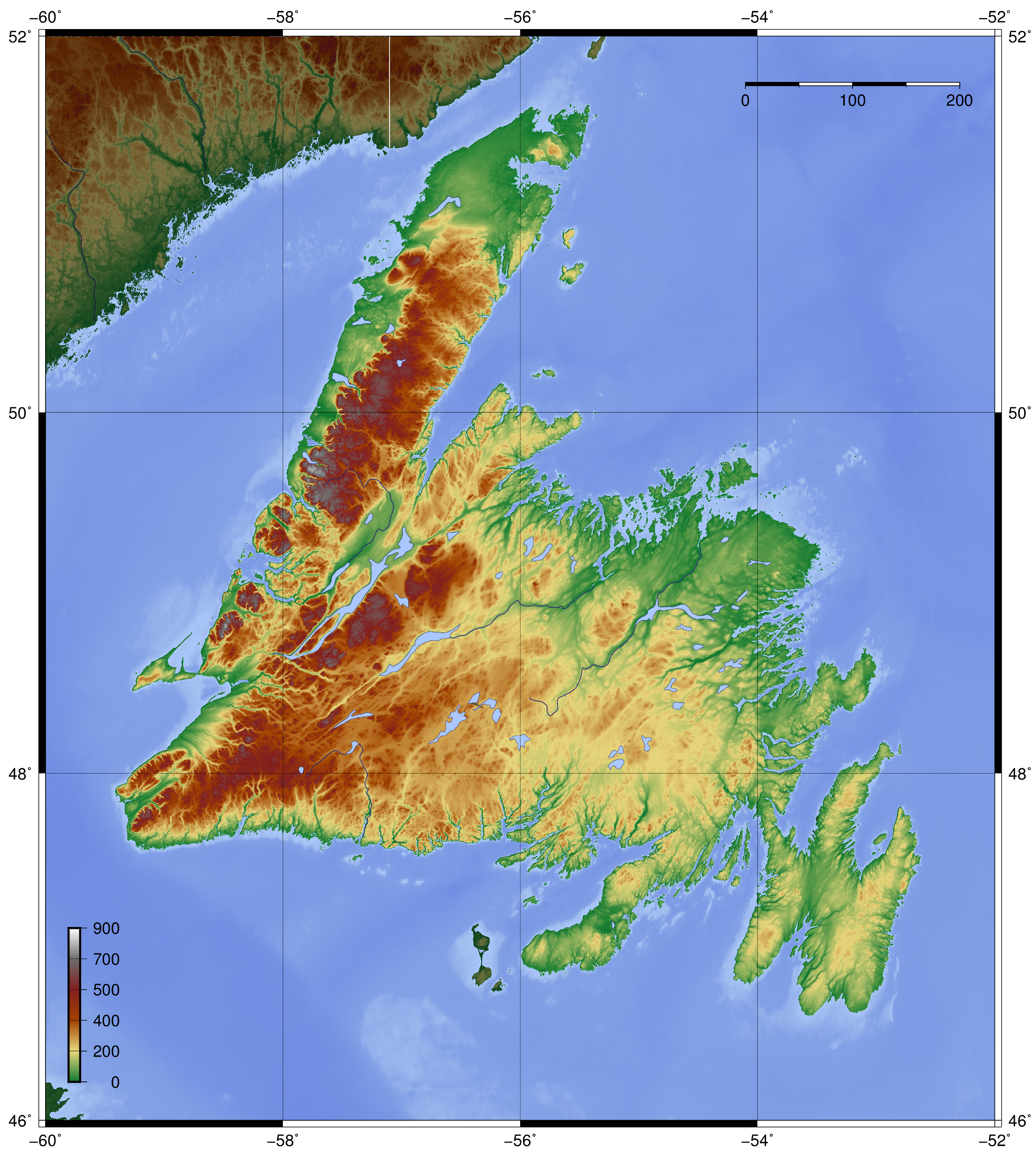
Canada Newfoundland relief location map.jpg - Flappiefh

Canada Newfoundland location map.svg - Tagishsimon

French-shore2.gif - HuguesArnaud

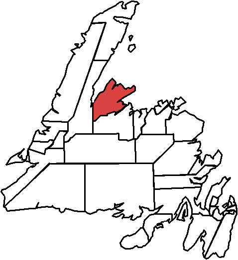
Burgeo-La Poile.png - Unknownlulz
Newfoundland topo.png - Zamonin

St. John's Metro.png - Unknownlulz

Mount Pearl.png - Unknownlulz

Pouch cove map.png - Unknownlulz

Trinity Bay Canada.gif - Rybkovich

Newfoundland & Labrador 2015 Election Map.svg - DrRandomFactor

Newfoundland Köppen.svg - Redtitan

Paradisestthomas.png - Unknownlulz

Conceptionbaysouth.png - Unknownlulz

Saint-Pierre and Miquelon EEZ map-en.svg - Koavf

Newfoundland & Labrador Election 2015 Results Map.svg - DrRandomFactor

2011 - FEB 12 - 22 - NEWFOUNDLAND -000b map (5457189360).jpg - Fæ

Ferryland.png - Unknownlulz

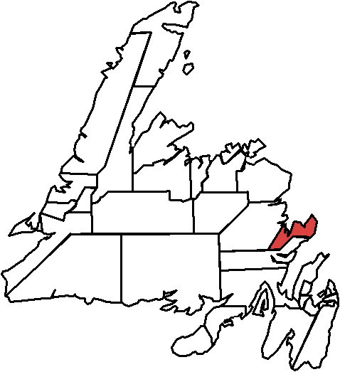
Terra Nova (electoral district).png - Unknownlulz

Port de Grave.png - FastilyClone
Baie Verte-Springdale.png - FastilyClone

Conception Bay South.png - Unknownlulz
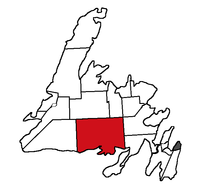
Fortune Bay-Cape La Hune.png - Unknownlulz

The Isles of Notre Dame.png - FastilyClone

Grand Falls-Windsor-Buchans.png - Unknownlulz

Humber Valley.png - FastilyClone

Bonavista North.png - FastilyClone

The Straits-White Bay North.png - FastilyClone

Harbour Main.png - FastilyClone

Placentia-St. Mary's.png - Unknownlulz

Kilbride.png - FastilyClone

St. Barbe.png - FastilyClone

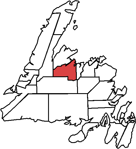
Exploits.png - Unknownlulz

Port au Port.png - FastilyClone

Bellevue.png - FastilyClone
Humber West.png - FastilyClone
Grand Falls-Windsor-Green Bay South.png - FastilyClone

Gander.png - Unknownlulz

St. George's-Stephenville East.png - FastilyClone

Carbonear-Harbour Grace.png - FastilyClone

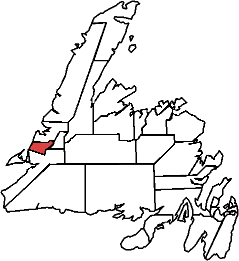
Bay of Islands.png - Unknownlulz

Grand Bank.png - FastilyClone
Bonavista South.png - FastilyClone

Conception Bay East-Bell Island.png - Unknownlulz

Burin-Placentia West.png - FastilyClone

Cape St. Francis.png - Unknownlulz

Trinity North.png - FastilyClone

Humber East.png - FastilyClone

Newfoundlandmap.png - Vanished Account Byeznhpyxeuztibuo

205 of '(The Geological Observer.)' (11036287364).jpg - Artix Kreiger 2

Map of the now defunct Nfl. Railway (26986369293).jpg - Mindmatrix

Histoire des deux Indes-Atlas-d60-C35-St Laurent-Golphe-Cap breton-île St Jean-Terre Neuve.png - Vieux têtard

Admiralty Chart No 289 Bay of Islands, Newfoundland, Published 1963.jpg - Kognos

Admiralty Chart No 285 Orange Bay to Gander Bay, Published 1968.jpg - Kognos
Canada Newfoundland relief location map - Long Range.jpg - Jeangagnon

Admiralty Chart Catalogue 1967 Page 115 Index U.jpg - Kognos

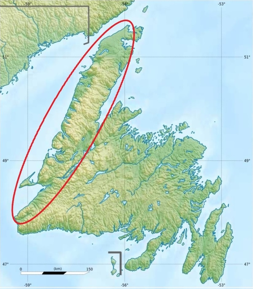
AnguilleMountains.png - Lanma726

Admiralty Chart No 297 Plans in Conception Bay, Published 1956.jpg - Kognos

Admiralty Chart No 2879 Plans on the West Coast of Newfoundland, Published 1963.jpg - Kognos

Admiralty Chart No 2142 Ramea Island to Indian Harbour, Published 1894, Corrections Copyright 1961.jpg - Kognos

Admiralty Chart No 2829 Placentia and Ship Harbours, Published 1947.jpg - Kognos
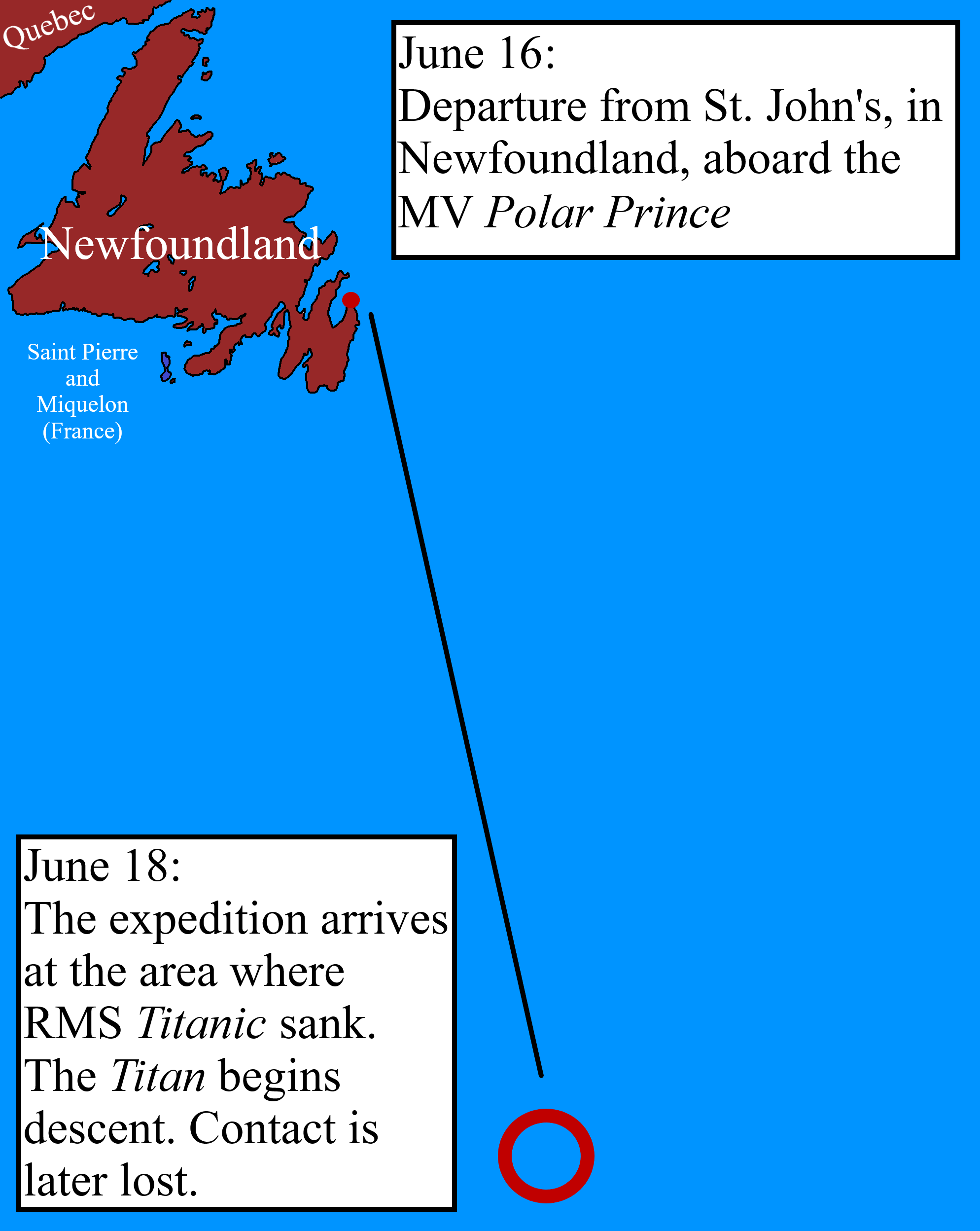
2023 Titanic submersible incident map.png - Knightoftheswords281

2023 Titanic submersible incident map.svg - DigitalIceAge

2023 Titan submersible incident map.svg - Nelg

2023 Titanic submersible incident map zh.svg - Jeffchu2014

2023 mappa incidente sommergibile Titan.svg - Super nabla
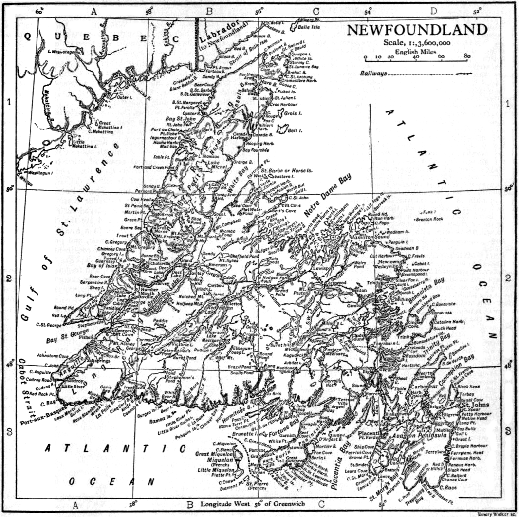
EB1911 - Map of Newfoundland.png - DivermanAU

Canada Newfoundland Location map.svg - Palaeozoic99

Plan de la Baie de Saint-Lunaire par LIBERGE de GRANCHAIN 1784.jpg - Cyrille de Nanteuil