Wikimedi'Òc
Modes d'emploi

Cet album fait partie des albums
Cet album photos contient les sous-albums suivants :


Allt na Muic near Achentoul - geograph.org.uk - 1363288.jpg - GeographBot

Allt na Claise flows down to Loch Ardbhair - geograph.org.uk - 1377023.jpg - GeographBot

Allt Lonielist - geograph.org.uk - 1339453.jpg - GeographBot

Water's Edge - geograph.org.uk - 2388602.jpg - GeographBot

View to Craig a' Mhàim from the A87 - geograph.org.uk - 6295546.jpg - GeographBot

View South East from the Bealach na Eas Ban - geograph.org.uk - 1352534.jpg - GeographBot

Aonach Dubh - geograph.org.uk - 1569707.jpg - GeographBot

Ardsheal Hill trig point - geograph.org.uk - 1340847.jpg - GeographBot

Baledigle Forest ride - geograph.org.uk - 1358599.jpg - GeographBot

Cascade on small burn above Doire na Muice - geograph.org.uk - 1390076.jpg - GeographBot

Bracken and trees - geograph.org.uk - 1351537.jpg - GeographBot

Loch an Droma - geograph.org.uk - 1354494.jpg - GeographBot

The Silver Path - geograph.org.uk - 1349254.jpg - GeographBot

The Silver Path - geograph.org.uk - 1349261.jpg - GeographBot

The A82 heading in a southerly direction - geograph.org.uk - 1356858.jpg - GeographBot

The A82 heading south near Innis na Birlinn - geograph.org.uk - 1352557.jpg - GeographBot

The A82 heading to some of Scotland's magnificent mountains - geograph.org.uk - 1351563.jpg - GeographBot

The A861 at Arachacle - geograph.org.uk - 1357408.jpg - GeographBot

The A861 heading south-east at Loch Sunart - geograph.org.uk - 1357682.jpg - GeographBot

The A87 heading across Eilean Ban - geograph.org.uk - 1354751.jpg - GeographBot

The A87 heading east in above Glen Garry - geograph.org.uk - 1352668.jpg - GeographBot

The A87 heading south - geograph.org.uk - 1353602.jpg - GeographBot

The A87 heading west at Glen Garry - geograph.org.uk - 1352626.jpg - GeographBot

The Allt Coire an t-Sneachda - geograph.org.uk - 1374320.jpg - GeographBot

Summit of Stob a' Bealach an Sgriodain - geograph.org.uk - 1376881.jpg - GeographBot

Parking by Coulags Bridge - geograph.org.uk - 1552694.jpg - GeographBot

Minor road leading off the A861 - geograph.org.uk - 1356955.jpg - GeographBot

North from above Bealach Coire na Banachdich - geograph.org.uk - 1332256.jpg - GeographBot

Spur on the North East Ridge of Beinn Bhreac - geograph.org.uk - 1353707.jpg - GeographBot

South ridge of Meall a' Choirein Luachraich - geograph.org.uk - 1390050.jpg - GeographBot

Opinan Slabs - geograph.org.uk - 1390083.jpg - GeographBot

Slopes of Meall Liath Choire - geograph.org.uk - 1375935.jpg - GeographBot

Ridge west of Meall Mor - geograph.org.uk - 1376882.jpg - GeographBot

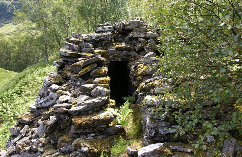
Ruins, Allt Briagh - geograph.org.uk - 1349268.jpg - GeographBot

Rocky hillside looking towards Slioch - geograph.org.uk - 1360720.jpg - GeographBot

Morar Railway Station - geograph.org.uk - 1391216.jpg - GeographBot

Pap of Glencoe 20090602.jpg - Bruce89

Clachtoll Broch 20090612 01.jpg - Otter

Clachtoll Broch 20090612 02.jpg - Otter
Clachtoll Broch 20090612 03.jpg - Otter

Clachtoll Broch 20090612 04.jpg - Otter

Dochgarroch Lock - kingsley - 30-JUN-09.JPG - Gregory J Kingsley

Ardnamurchan Point.jpg - Czmadzia

Kilchoan Bay.jpg - Czmadzia

Fearn Abbey 20090615 from south east.jpg - Otter

Fearn Abbey 20090615 mausoleum on north side.jpg - Otter

Fearn Abbey 20090615 tomb abbot Finlay McFaed.jpg - Otter

Fearn Abbey 20090615 interior.jpg - Otter

Nybster Broch 20090614 from northeast.jpg - Otter

Nybster Broch 20090614 from west.jpg - Otter

Nybster Broch 20090614 stairs blockhouse.jpg - Otter

Dornoch Cathedral 20090615.jpg - Otter

Dornoch Cathedral 20090615 choir.jpg - Otter

Dornoch Cathedral 20090615 effigy Richard de Moravia.jpg - Otter
Dornoch Cathedral 20090615 stained glass Gilbert de Moravia.jpg - Otter

Hill o' Many Stanes 20090613 01.jpg - Otter

Hill o' Many Stanes 20090613 02.jpg - Otter

St Mary's Church (Crosskirk) 20090614 01.jpg - Otter

St Mary's Church (Crosskirk) 20090614 02.jpg - Otter
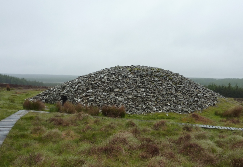
Camster Round Cairn 20090613.jpg - Otter

Camster Round Cairn 20090613 interior.jpg - Otter

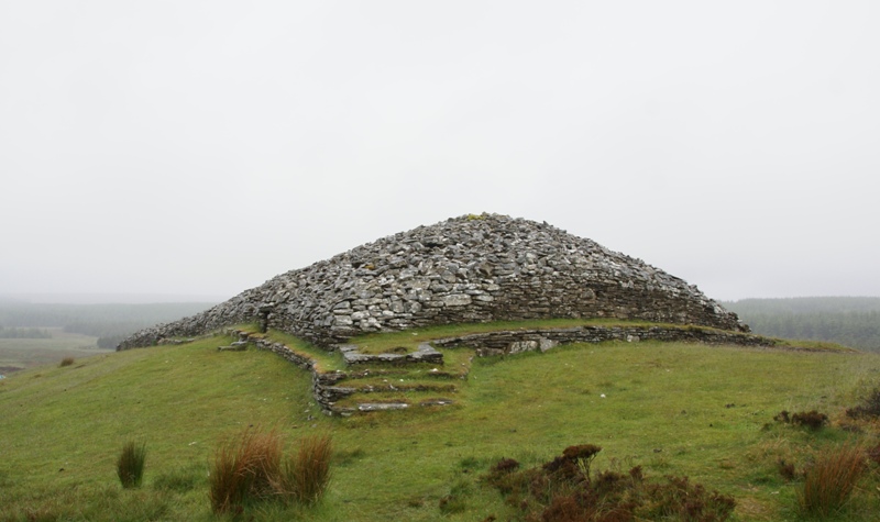
Camster Long Cairn 20090613.jpg - Otter

Camster Long Cairn 20090613 southern chamber.jpg - Otter

Camster Long Cairn 20090613 northern chamber.jpg - Otter
Camster Long Cairn 20090613 from north.jpg - Otter
Uig Tower 20090608.jpg - Otter

Cnoc Freiceadain 20090614 North Cairn.jpg - Otter

Cnoc Freiceadain 20090614 South Cairn.jpg - Otter
Hilton of Cadboll Chapel 20090615.jpg - Otter
Hilton of Cadboll Stone replica 20090615 cross side.jpg - Otter

Bernera Barracks 20090612.jpg - Otter

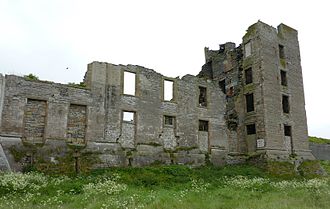
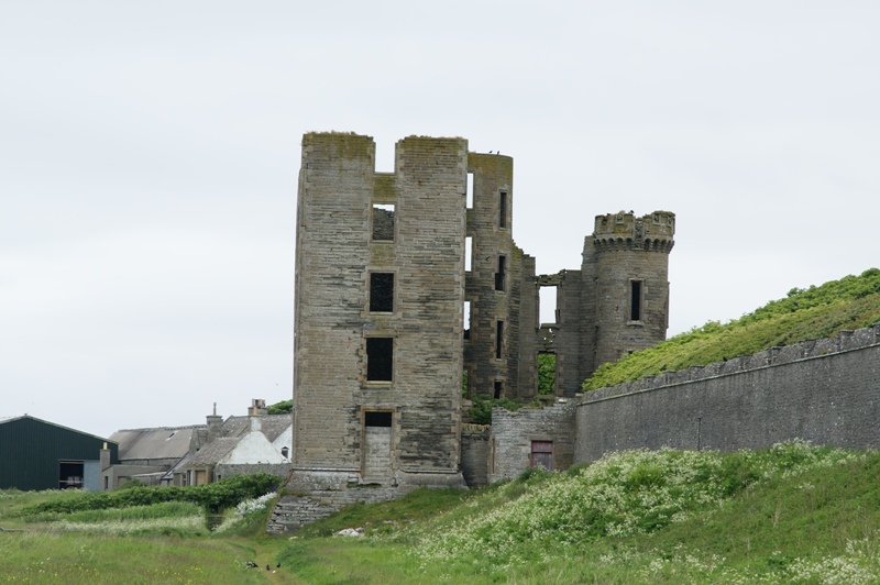
Duntulm Castle 20090612 from the south.jpg - Otter

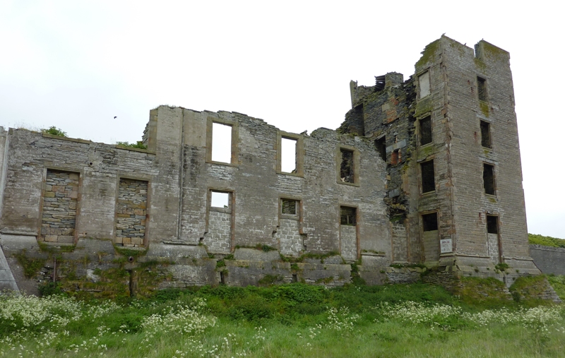
Duntulm Castle 20090612 interior looking north.jpg - Otter

Duntulm Castle 20090612 interior looking south east.jpg - Otter
Crosskirk Broch Memorial Cairn 20090614.jpg - Otter
Thurso Castle 20090614 01.jpg - Otter
Thurso Castle 20090614 02.jpg - Otter
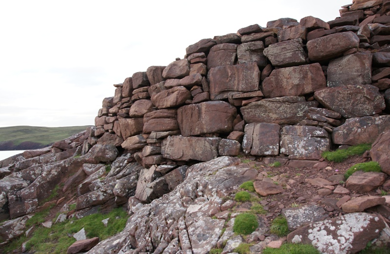
Dun Grugaig 20090612 from south.jpg - Otter
Dun Grugaig 20090612 interior looking east.jpg - Otter
Dun Grugaig 20090612 south gallery.jpg - Otter

Dun Grugaig 20090612 interior south wall gallery.jpg - Otter

Toposcope Face - geograph.org.uk - 1334849.jpg - GeographBot

Foot path to Loch Ossian Youth Hostel - geograph.org.uk - 1346541.jpg - GeographBot

Invasion of the rose snatchers - geograph.org.uk - 1348762.jpg - GeographBot

Loch Teacuis, Àrd an Tiobairt - geograph.org.uk - 1343860.jpg - GeographBot

Saltings, Kinlochteacuis - geograph.org.uk - 1343832.jpg - GeographBot

Saltings, Loch Teacuis - geograph.org.uk - 1343822.jpg - GeographBot

Shores of Loch Teacuis - geograph.org.uk - 1343840.jpg - GeographBot

The beach at Nairn - geograph.org.uk - 1344591.jpg - GeographBot

A82 in Rannoch Moor - geograph.org.uk - 1351517.jpg - GeographBot

A view on Skye from Eas a' Bhradain - geograph.org.uk - 1353573.jpg - GeographBot

Aim for it - geograph.org.uk - 1364987.jpg - GeographBot

Hut Circle near Carn nam Muc - geograph.org.uk - 1360695.jpg - GeographBot

Sheepfold east of Marishader - geograph.org.uk - 1361763.jpg - GeographBot

Ballindalloch Station - geograph.org.uk - 1372611.jpg - GeographBot

Boathouse at Achranich - geograph.org.uk - 1379871.jpg - GeographBot

Bridge over the Allt Daim - geograph.org.uk - 1378772.jpg - GeographBot

Dunvegan Castle - geograph.org.uk - 1374972.jpg - GeographBot

Healabhal Bheag - geograph.org.uk - 1370892.jpg - GeographBot

Healabhal Bheag summit - geograph.org.uk - 1370908.jpg - GeographBot

Low tide near the jetty at Culkein Drumbeg - geograph.org.uk - 1377702.jpg - GeographBot

Osdale River - geograph.org.uk - 1370805.jpg - GeographBot
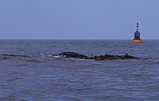
Skerry and buoy - geograph.org.uk - 1378622.jpg - GeographBot

View across the Inner Sound - geograph.org.uk - 1379757.jpg - GeographBot

Achanalt Railway Station - geograph.org.uk - 1380867.jpg - GeographBot

Grazing north of Callakille - geograph.org.uk - 1380211.jpg - Geograph Update Bot

House north of Lonbain - geograph.org.uk - 1380237.jpg - GeographBot

Houses at Callakille - geograph.org.uk - 1380227.jpg - GeographBot

Submerged rock - geograph.org.uk - 1383353.jpg - GeographBot

The Abhainn Chuaig - geograph.org.uk - 1380200.jpg - GeographBot

The Old Forge, Inverie, Knoydart - geograph.org.uk - 1381034.jpg - GeographBot

The old station house at Achanalt - geograph.org.uk - 1380872.jpg - GeographBot

View north west over the Inner Sound - geograph.org.uk - 1380347.jpg - GeographBot

View over the Inner Sound - geograph.org.uk - 1380206.jpg - GeographBot

View towards Callakille - geograph.org.uk - 1380223.jpg - GeographBot

View towards Lonbain - geograph.org.uk - 1380243.jpg - GeographBot

Wool shop north of Cuaig - geograph.org.uk - 1380195.jpg - GeographBot

Tidal rock - geograph.org.uk - 1399720.jpg - GeographBot

North Channel - geograph.org.uk - 1503702.jpg - GeographBot

A82 bridge by the Kingshouse Hotel - geograph.org.uk - 1533676.jpg - GeographBot

Looking down to Loch Carron - geograph.org.uk - 1569661.jpg - GeographBot

Braemore Junction - geograph.org.uk - 1583942.jpg - GeographBot

Car park and viewpoint, A832 - geograph.org.uk - 1583965.jpg - GeographBot

Coast line near Kyleakin - geograph.org.uk - 1582488.jpg - GeographBot

A deer in the Kingshouse Hotel campsite.jpg - Stinglehammer