Wikimedi'Òc
Modes d'emploi

Cet album fait partie des albums


'The Bungalow', Back Drum - geograph.org.uk - 1382923.jpg - GeographBot

A957 in Stonehaven - geograph.org.uk - 1383199.jpg - GeographBot

A 'ride' alongside the north drive - geograph.org.uk - 1389146.jpg - GeographBot

A bridge over the Kale Water - geograph.org.uk - 1387226.jpg - GeographBot

A farm track opposite Drumsleed - geograph.org.uk - 1381753.jpg - GeographBot

A new power line pylon alignment - geograph.org.uk - 1388163.jpg - GeographBot

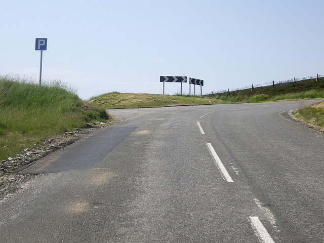
A northwest alignment in Stonehaven - geograph.org.uk - 1383517.jpg - GeographBot

A roadside tree by Loch Sauch - geograph.org.uk - 1387163.jpg - GeographBot

Aberdour Beach - geograph.org.uk - 1383081.jpg - GeographBot

Aberdour Parish Kirk - geograph.org.uk - 1383057.jpg - GeographBot

Aberdour Parish Kirk - geograph.org.uk - 1383065.jpg - GeographBot

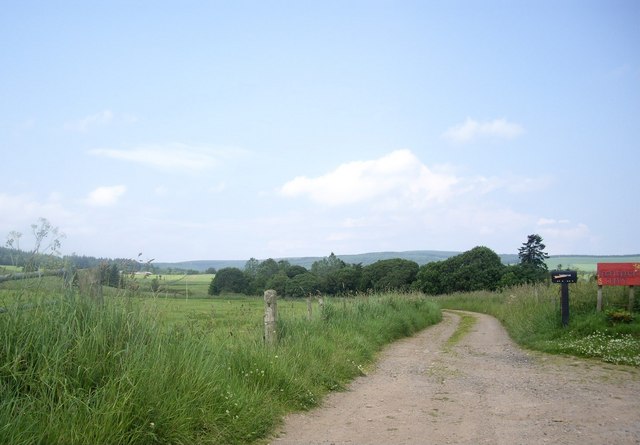
Access road to Mill of Kincardine - geograph.org.uk - 1384418.jpg - GeographBot

Access road to Osmoston - geograph.org.uk - 1383883.jpg - GeographBot

Access to Brownmuir Croft - geograph.org.uk - 1381729.jpg - GeographBot
Access to Cairn O'Mount viewpoint - geograph.org.uk - 1384701.jpg - GeographBot

Access to Castleton of Kincardine - geograph.org.uk - 1384406.jpg - GeographBot

Access to Cowton Riding Centre - geograph.org.uk - 1383050.jpg - GeographBot

Access to Drumsleed - geograph.org.uk - 1381767.jpg - GeographBot

Access to East Cairnbeg - geograph.org.uk - 1383828.jpg - GeographBot

Access to Fetteresso Forest carpark - geograph.org.uk - 1382971.jpg - GeographBot

Access to Fordoun Sawmill - geograph.org.uk - 1381648.jpg - GeographBot

Access to Phesdo House - geograph.org.uk - 1384385.jpg - GeographBot

Access to Ringwood Art Studio - geograph.org.uk - 1381701.jpg - GeographBot

Access to Shooting Greens Cottage - geograph.org.uk - 1382884.jpg - GeographBot
Access to Templebank Croft - geograph.org.uk - 1382142.jpg - GeographBot

Access to Upper Coullie - geograph.org.uk - 1383809.jpg - GeographBot

Access to West Cairnbeg - geograph.org.uk - 1383833.jpg - GeographBot

Access to the moor - geograph.org.uk - 1384548.jpg - GeographBot

Agroforestry, Glensaugh - geograph.org.uk - 1386813.jpg - GeographBot

Albert Lane, Stonehaven - geograph.org.uk - 1383600.jpg - GeographBot

Approach to the Clatterin Brig - geograph.org.uk - 1386851.jpg - GeographBot

B974 by Gateside - geograph.org.uk - 1384436.jpg - GeographBot

B974 descent to Bridge of Dye - geograph.org.uk - 1384819.jpg - GeographBot

B974 south of Kirkcram - geograph.org.uk - 1384738.jpg - GeographBot

B974 up Redstone Hill to Cairn O'Mount - geograph.org.uk - 1384556.jpg - GeographBot

Clatterin Brig (July) - geograph.org.uk - 1384491.jpg - GeographBot

Clatterin Brig ahead - geograph.org.uk - 1384456.jpg - GeographBot

Clatterin Brig road junction - geograph.org.uk - 1386858.jpg - GeographBot

Clatterin Brig tea room lounge - geograph.org.uk - 1384503.jpg - GeographBot

Clatterin Brig tearoom and restaurant - geograph.org.uk - 1384508.jpg - GeographBot

Cnap a Choire Bhuidhe - geograph.org.uk - 1387051.jpg - GeographBot

Cnap a Choire Bhuidhe - geograph.org.uk - 1387109.jpg - GeographBot

Cnap a Choire Bhuidhe - geograph.org.uk - 1387731.jpg - GeographBot

Cnap a Choire Bhuidhe - geograph.org.uk - 1387765.jpg - GeographBot

Cnapan Nathraichean - geograph.org.uk - 1387096.jpg - GeographBot

Cnapan Nathraichean - geograph.org.uk - 1387141.jpg - GeographBot

Cnapan Nathraichean - geograph.org.uk - 1387194.jpg - GeographBot

Cnapan Nathraichean path junction - geograph.org.uk - 1387164.jpg - GeographBot

Drumsleed livestock - geograph.org.uk - 1381744.jpg - GeographBot

Experimental plantation near Clatterin brig - geograph.org.uk - 1386821.jpg - GeographBot

Glensaugh - geograph.org.uk - 1387127.jpg - GeographBot

Glensaugh croft - geograph.org.uk - 1387136.jpg - GeographBot

T-junction near Glenfarquhar - geograph.org.uk - 1387587.jpg - GeographBot
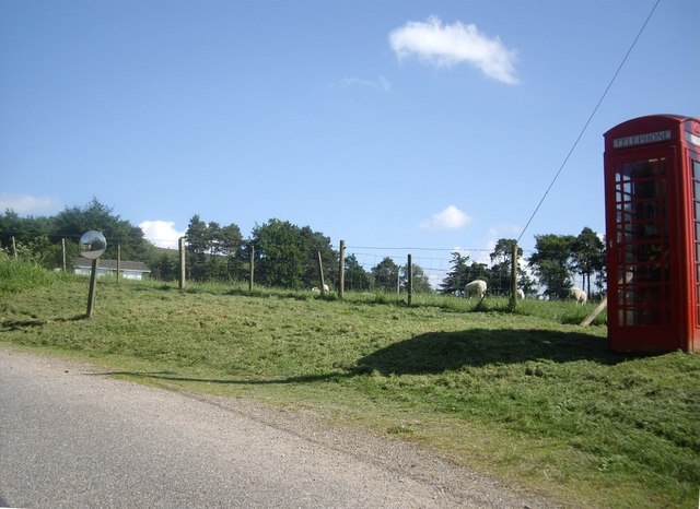
Telephone kiosk in Glensaugh - geograph.org.uk - 1387129.jpg - GeographBot

Two bridges at Clatterin Brig - geograph.org.uk - 1384513.jpg - GeographBot

A junction for Glenbervie - geograph.org.uk - 1391117.jpg - GeographBot

East Coast main line (N) - geograph.org.uk - 1410133.jpg - GeographBot

East Coast main line (S) - geograph.org.uk - 1410127.jpg - GeographBot

Glenbervie church (July) - geograph.org.uk - 1410178.jpg - GeographBot

On Meall Gorm - geograph.org.uk - 1417364.jpg - GeographBot

On the track to Glen Gairn below Meall Gorm - geograph.org.uk - 1417520.jpg - GeographBot

Dunnottar Castle, July 2009 01.jpg - Simon Burchell

Dunnottar Castle, July 2009 02.jpg - Simon Burchell

Dunnottar Castle, July 2009 03.jpg - Simon Burchell

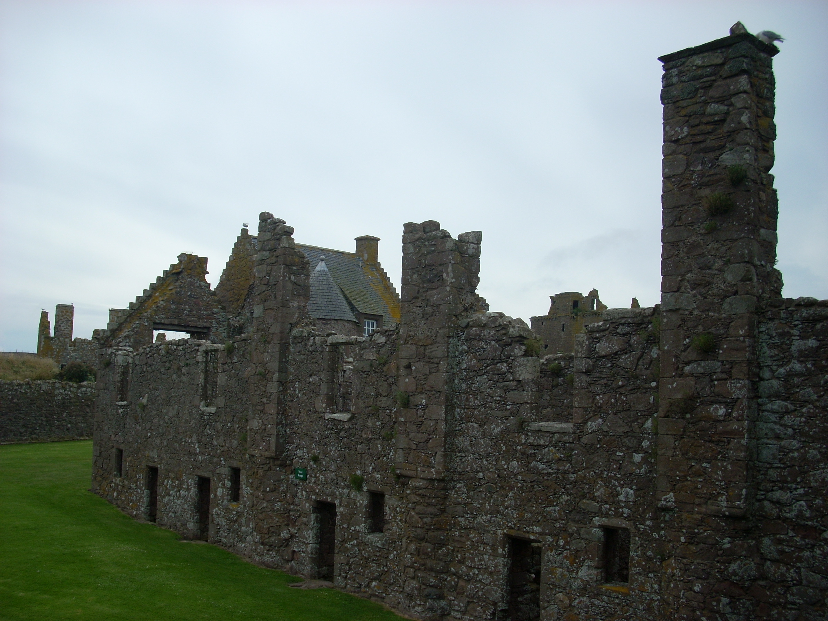
Dunnottar Castle, July 2009 06.jpg - Simon Burchell

Dunnottar Castle, July 2009 04.jpg - Simon Burchell

Dunnottar Castle, July 2009 05.jpg - Simon Burchell

Dunnottar Castle, July 2009 07.jpg - Simon Burchell

Dunnottar Castle, July 2009 08.jpg - Simon Burchell

Dunnottar Castle, July 2009 09.jpg - Simon Burchell

Dunnottar Castle, July 2009 10.jpg - Simon Burchell

Dunnottar Castle, July 2009 11.jpg - Simon Burchell

Dunnottar Castle, July 2009 12.jpg - Simon Burchell
Dunnottar Castle, July 2009 13.jpg - Simon Burchell

Dunnottar Castle, July 2009 14.jpg - Simon Burchell

Dunnottar Castle, July 2009 16.jpg - Simon Burchell

Dunnottar Castle, July 2009 15.jpg - Simon Burchell

Dunnottar Castle, July 2009 17.jpg - Simon Burchell

Dunnottar Castle, July 2009 18.jpg - Simon Burchell

Dunnottar Castle, July 2009 19.jpg - Simon Burchell