Wikimedi'Òc
Modes d'emploi

Cet album fait partie des albums
Cet album photos contient les sous-albums suivants :


Mount Nebo Utah.jpg - C.Maylett

UtahSignByPhilKonstantin.jpg - Philkon

JuabCountyUtahEightyMPHSpeedLimitSign.jpg - File Upload Bot (Magnus Manske)

2013-09-23 18 27 35 View north along Interstate 15 in Utah near milepost 206.JPG - Famartin

2013-09-23 18 28 47 View north along Interstate 15 in Utah near milepost 208.JPG - Famartin

2013-09-23 18 36 50 View north along Interstate 15 in Utah near milepost 219.JPG - Famartin

2013-09-23 18 49 43 View north along Interstate 15 in Utah near milepost 237.JPG - Famartin

Utah State Route 28.svg - Guerillero

UT-54 BGS off of I-15 near Mona - panoramio.jpg - Panoramio upload bot

New UT-54-Mona UT Advance Exit Sign, 1 mi. - panoramio.jpg - Panoramio upload bot

New UT-54 Advance BGS, 1-2 mi. - panoramio.jpg - Panoramio upload bot

National Scenic Byway - Nebo Loop (Utah) - NARA - 68886696.jpg - US National Archives bot

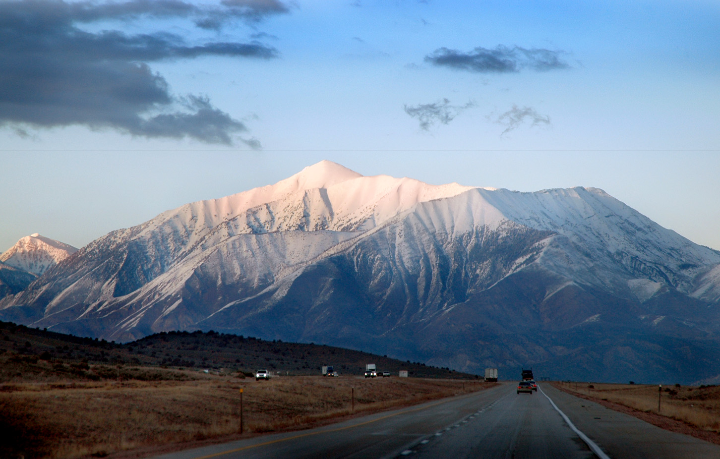
Mount Nebo from Interstate 15 Near Nephi, Utah.jpg - 420Traveler

Sr78 wbegin i1472.jpg - Marykdan

Utah (2788478191).jpg - Vis M
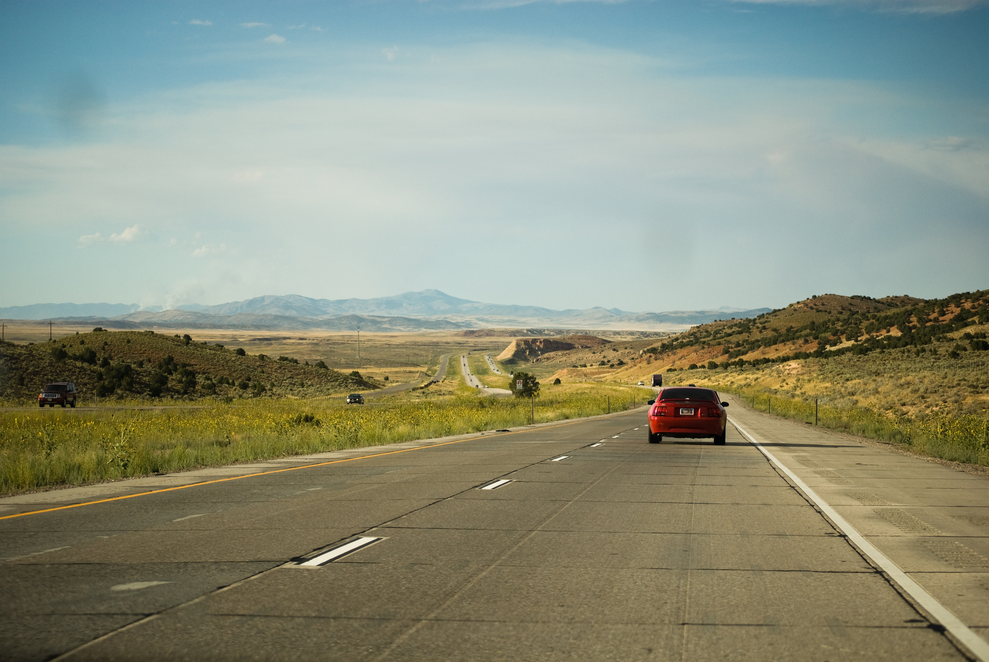
Freeway (2797985439).jpg - Vis M

Overtake (2798847646).jpg - Vis M

Nephi (2802311318).jpg - Vis M

I-15 North (2801492791).jpg - Vis M

Utah (2807128987).jpg - Vis M

I-15 North (2807990514).jpg - Vis M

Utah (2807144241).jpg - Vis M

Utah (2807993964).jpg - Vis M

Utah (2807152157).jpg - Vis M

2022-03-24 19 06 16 UTC minus 6 View north and down from an airplane up the Juab Valley in eastern Juab and southern Utah counties in Utah, with the San Pitch Mountains, Wasatch Range and Utah Lake all visible.jpg - Famartin

2022-03-24 19 07 12 UTC minus 6 View north and down from an airplane across eastern Juab and southern Utah counties in Utah, with the Juab Valley on the right, the Wasatch Range in the upper right and Utah Lake in the upper center.jpg - Famartin