Wikimedi'Òc
Modes d'emploi

Cet album fait partie des albums


Auchroisk - geograph.org.uk - 334163.jpg - GeographBot

Bracken - geograph.org.uk - 332269.jpg - GeographBot

Looking upstream on the River Lossie with Innes Canal to the left. - geograph.org.uk - 332453.jpg - GeographBot

Lossiemouth East Beach. - geograph.org.uk - 332390.jpg - GeographBot

Lossiemouth North Pier juts out into the Firth. - geograph.org.uk - 332508.jpg - GeographBot

Snow Sculpture - geograph.org.uk - 334192.jpg - GeographBot

Snow Sculpture - geograph.org.uk - 334197.jpg - GeographBot

Snow Sculpture - geograph.org.uk - 334201.jpg - GeographBot

Snow Sculpture - geograph.org.uk - 334262.jpg - GeographBot

Snow Sculpture - geograph.org.uk - 334268.jpg - GeographBot

A redundant crescent of roadway by Upper Knockando. - geograph.org.uk - 348609.jpg - GeographBot

Barnhill phonebox and letterbox. - geograph.org.uk - 347618.jpg - GeographBot

Communications at Upper Knockando. - geograph.org.uk - 348153.jpg - GeographBot
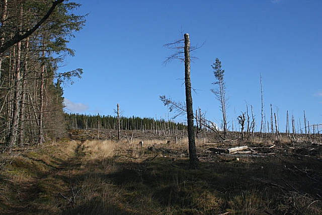
Hill of Maud - geograph.org.uk - 347992.jpg - GeographBot

Hill of Maud - geograph.org.uk - 347998.jpg - GeographBot

Hill of Maud - geograph.org.uk - 348000.jpg - GeographBot

Hill of Maud - geograph.org.uk - 348004.jpg - GeographBot

Hill of Maud - geograph.org.uk - 348010.jpg - GeographBot

Hill of Maud - geograph.org.uk - 348013.jpg - GeographBot

Hill of Maud - geograph.org.uk - 348016.jpg - GeographBot

Hill of Maud - geograph.org.uk - 348033.jpg - GeographBot

Hill of Maud - geograph.org.uk - 348043.jpg - GeographBot

Hill of Maud - geograph.org.uk - 348055.jpg - GeographBot

Speyside Way northeast of Delnapot. - geograph.org.uk - 348674.jpg - GeographBot

Walking the dog to the west of Upper Knockando. - geograph.org.uk - 348619.jpg - GeographBot