×

I-495 (NY) x I-678 1.JPG - O (bot)

1873 Beers Map of Ravenswood, Long Island City, Queens, New York City - Geographicus - Ravenswood-beers-1873.jpg - BotMultichill

Bwy Elmhurst Chinatown jeh.jpg - Jim.henderson

Old Tracks and Routes in Newtown (Plate LIV, p. 272).jpg - Delabrede

LaGuardia Airport and environs aerial from the south 01 - white balanced (9456947362).jpg - File Upload Bot (Magnus Manske)

Queens, Vol. 2, Double Page Plate No. 28; Part of Ward Two Newtown, Corona, Hopedale and Richmond Hill; (Map bounded by Flushing Creek, Old Town of Jamaica and Newtown, Boundary Line between NYPL1693984.tiff - Fæ

QueensBlvd-GrandAve PedWarning Sign-Elmhurst.jpg - Deadstar

CCPIT's Inn in Queens 皇后区贸促会中展公司的小客栈 - panoramio.jpg - Panoramio upload bot

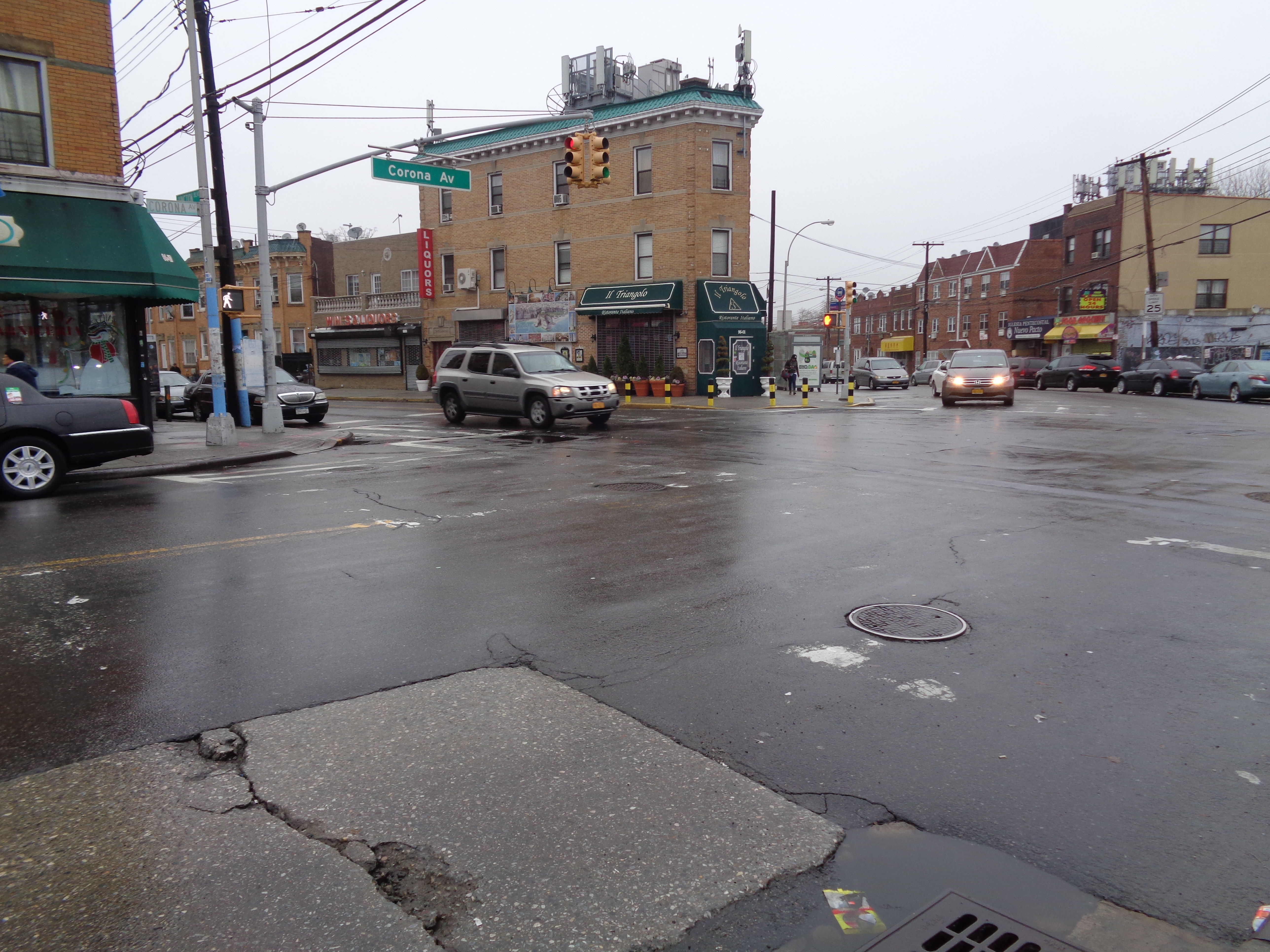
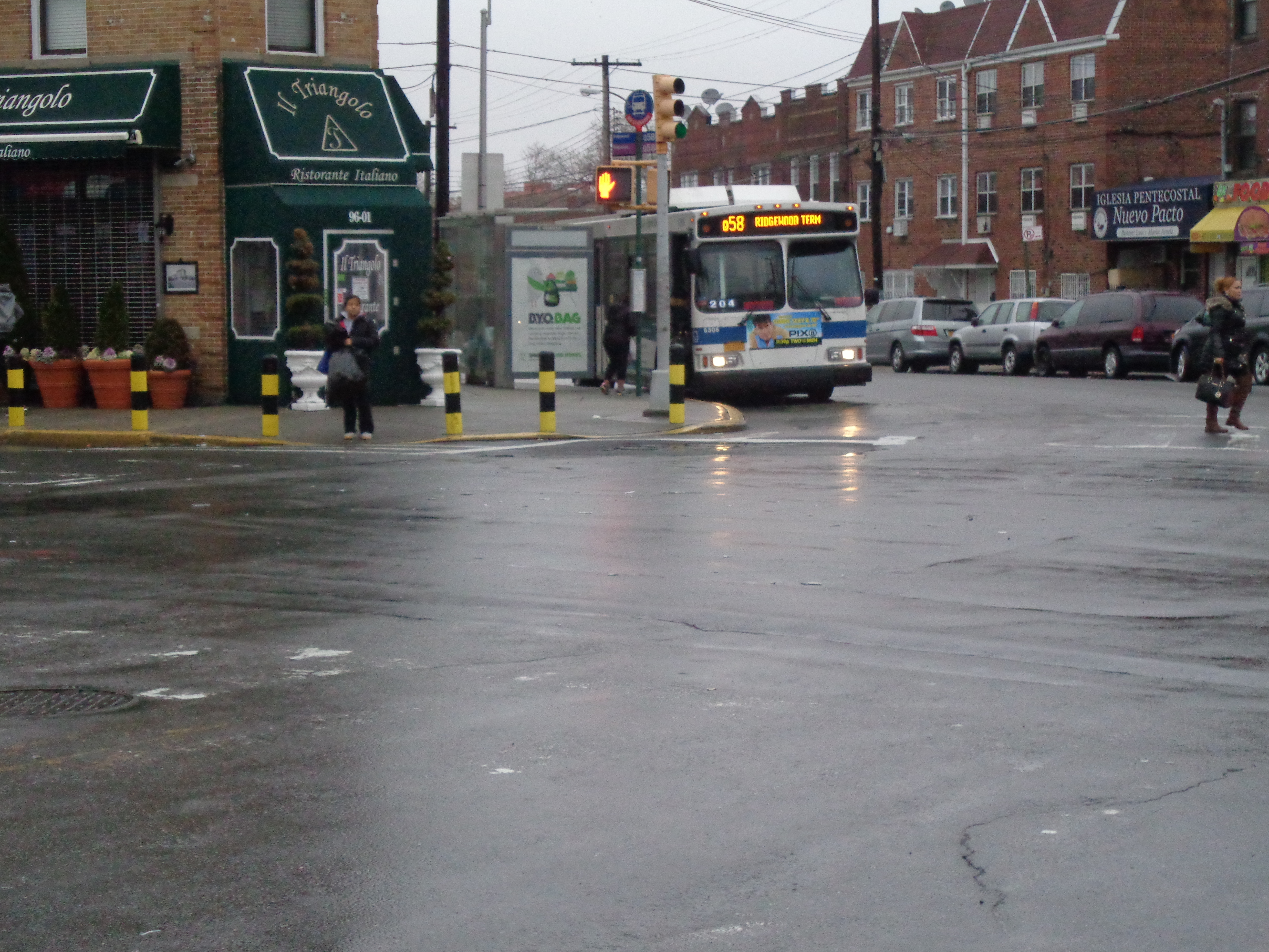
MTA Junction Bl Corona Av 02.JPG - Tdorante10

MTA Junction Bl Corona Av 03.JPG - Tdorante10

MTA Junction Bl Corona Av 04.JPG - Tdorante10

Queens - New York - USA - panoramio.jpg - Panoramio upload bot

Old Tracks and Routes in Newtown - Crop.jpg - Tdorante10

1950 Census Enumeration District Maps - New York (NY) - Queens County - Queens - ED 41-1 to 2176 - NARA - 24519584 (page 3).jpg - US National Archives bot

Bowery-and-Flushing-Bays-1886.png - Headphase

2010 Census Public Use Microdata Area Reference Map for NYC-Queens Community District 4--Elmhurst & South Corona, New York - DPLA - 3525e47adeed8e02148fc44822dd7121.pdf - DPLA bot
❮
❯


